Knittlingen, municipality in Germany
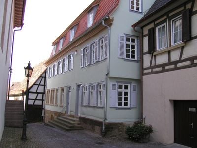
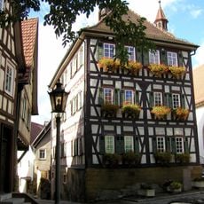
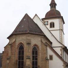
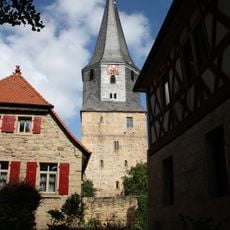
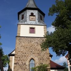
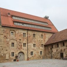
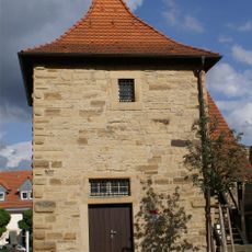
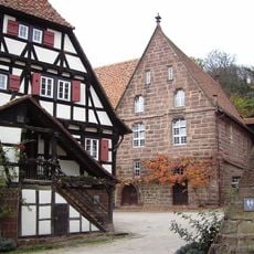
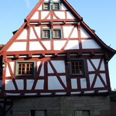
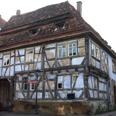
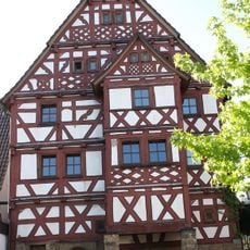
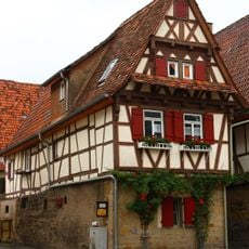
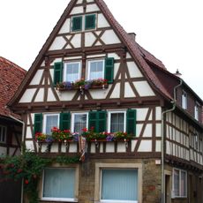
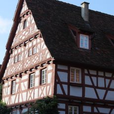
Knittlingen is a town in the Enz district of Baden-Württemberg with a population of around 8,000. The settlement follows a valley layout with characteristic half-timbered houses and a historic center marked by medieval town walls.
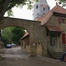
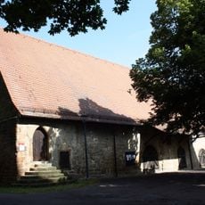
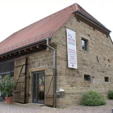
Knittlingen was founded in the Middle Ages as a fortified settlement and served as an important trading post for centuries. The town has maintained its medieval layout to the present day and later developed as a quiet residential community in the region.
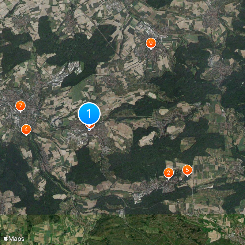
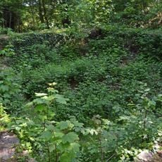
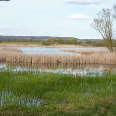
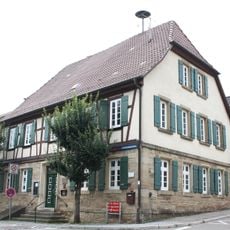
The town is easily accessible by car or train and has a compact, walkable town center that is straightforward to explore on foot. Parking is available in and around the center, and the surrounding area with vineyards and hiking trails invites further exploration.
The community of curious travelers
AroundUs brings together thousands of curated places, local tips, and hidden gems, enriched daily by 60,000 contributors worldwide.