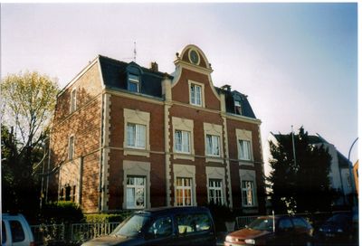
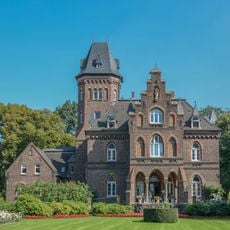
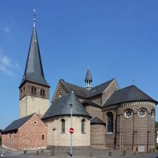
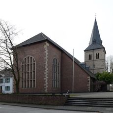
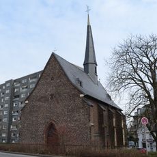
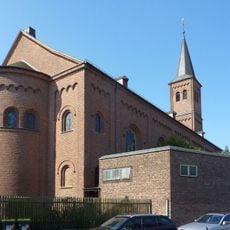
Worringen, Historic district in Chorweiler, Germany
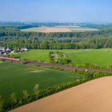
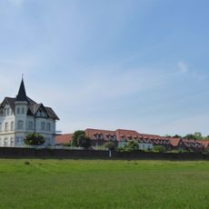
Worringen is a district of Cologne situated on the left bank of the Rhine, bordered by several neighboring areas. The area combines residential zones with industrial sections and natural spaces, reflecting different layers of urban growth.
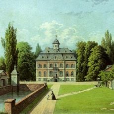
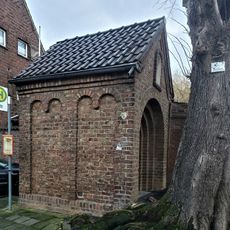
The area had settlements around 500 BC and first appeared in written records in 922. After more than a thousand years, the territory was officially incorporated into Cologne in 1922.
The district maintains its own carnival tradition, celebrating Rose Monday at a different time than central Cologne. This separate timing creates a distinct local identity and shapes how residents and visitors experience the season.
The S6 and S11 train lines connect the district to central Cologne, while numerous bus routes offer additional connections. This good public transport access makes it easy to explore the area or travel to other parts of the city.
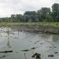
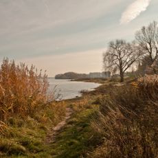
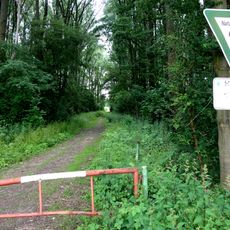
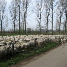
The area is home to the Worringer Bruch, a nature reserve that connects with Rhine meadows. These green spaces give the district an unexpectedly natural character despite its industrial sections.
Location: Chorweiler
GPS coordinates: 51.06556,6.86500
Latest update: December 7, 2025 20:49
Schloss Arff
3.8 km
Worringer Bruch
2.1 km
Marienburg Monheim
2.8 km
St. Stephanus
3.8 km
St. Michael
3.2 km
St. Katharina
3.7 km
St. Gereon
3 km
Marienkapelle
3.9 km
St. Katharina von Siena
3.5 km
Rheinaue Worringen-Langel
1.6 km
Saint Anthony of Padua Chapel
2.7 km
Jewish cemeteries in Monheim am Rhein
3.9 km
Markstein im Kampf der Kölner Bürger um ihre Unabhängigkeit
167 m
An der Ziegelei
2.8 km
Evangelisches Gemeindezentrum Arche (Dormagen-Rheinfeld)
3.5 km
Kapelle am Cohnenhof (Chorweiler-Langel)
4 km
St. Johann Baptist
2.3 km
Landschaftsschutzgebiet Rhein und Rheinauen Worringen bis Merkenich
224 m
Church of Peace
341 m
Worringer Bruch
2.3 km
St. Johannes der Täufer (Monheim am Rhein)
3.4 km
Historische Tankstelle, Neusser Landstraße (Köln)
1.7 km
Protestant Church
3.3 km
St. Pankratius (Köln-Worringen)
142 m
Hackenbroicher Straße 114
785 m
Eki-Haus Evangelische Kirche (Monheim am Rhein)
3.4 km
Cohnenhof
4.1 km
Kapelle Hackhausen (Dormagen)
3.5 kmVisited this place? Tap the stars to rate it and share your experience / photos with the community! Try now! You can cancel it anytime.
Discover hidden gems everywhere you go!
From secret cafés to breathtaking viewpoints, skip the crowded tourist spots and find places that match your style. Our app makes it easy with voice search, smart filtering, route optimization, and insider tips from travelers worldwide. Download now for the complete mobile experience.
A unique approach to discovering new places❞
— Le Figaro
All the places worth exploring❞
— France Info
A tailor-made excursion in just a few clicks❞
— 20 Minutes