Enable Location

We need your location to show you interesting places around you

Discover nearby places

Find interesting locations and hidden gems around you

Precise directions

Get accurate directions and distances to places

Your location is never shared with other users. It's only used when you tap the location button.

Chorweiler

Log in to your account

Start exploring — it's free

Trusted by 62,014 travelers worldwide

Continue with Google
Continue with Apple
or

We will send you a code to connect

By continuing, you accept our Terms and Conditions and our Privacy Policy

Check your inbox

We've sent a pincode in your inbox. Please enter the code below.

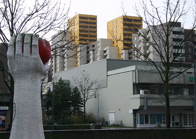
Chorweiler, Administrative district in northern Cologne, Germany.

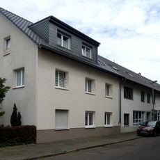
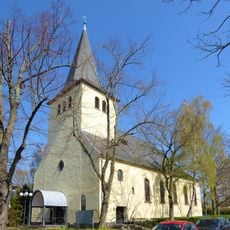
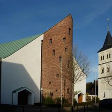
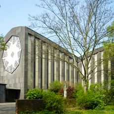
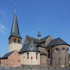
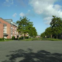
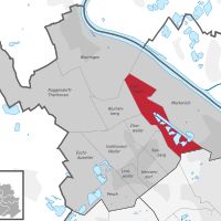
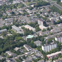
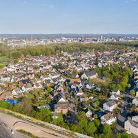
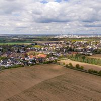
Chorweiler is a city district in northern Cologne that spans a wide area with different neighborhoods such as Blumenberg, Fühlingen, and Merkenich. The district shows a mix of residential areas, green spaces, and commercial zones connected by various roads and transportation routes.

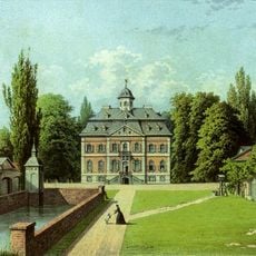
The area was incorporated into Cologne in 1922 and structured as an independent administrative district during urban development in the 1970s. This reorganization allowed better management and services for the rapidly growing population in the decades after World War Two.

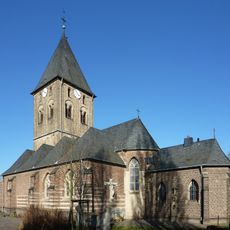
Residents shape the neighborhood through their diverse traditions and use local squares regularly for gatherings and celebrations. Different communities have created an open and living coexistence over time, visible in everyday life throughout the district.

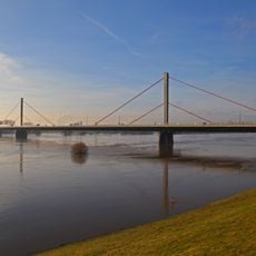
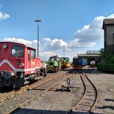
The district is well connected through several railway stations like Köln-Chorweiler and Köln-Worringen by bus and train. Stadtbahn lines 12 and 15 provide easy access to central Cologne, and numerous bus stops connect the different residential areas.

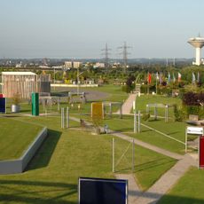
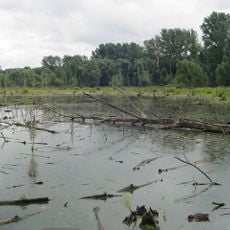
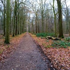
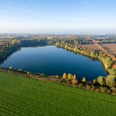
Despite its size, the district maintains large connected green spaces and open countryside that set it apart from other urban districts. This mix of settlement and nature creates a surprisingly rural character for a neighborhood of a major city.

The community of curious travelers

AroundUs brings together thousands of curated places, local tips, and hidden gems, enriched daily by 60,000 contributors worldwide.

Start exploring
Location
GPS coordinates
51.04380,6.89564
Latest update
December 7, 2025 19:24
« Chorweiler - Administrative district in northern Cologne, Germany » is provided by Around Us (aroundus.com). Images and texts are derived from Wikimedia project under a Creative Commons license. You are allowed to copy, distribute, and modify copies of this page, under the conditions set by the license, as long as this note is clearly visible.

Discover hidden gems everywhere you go!

From secret cafés to breathtaking viewpoints, skip the crowded tourist spots and find places that match your style. Our app makes it easy with voice search, smart filtering, route optimization, and insider tips from travelers worldwide. Download now for the complete mobile experience.

Around Us App Screenshot

A unique approach to discovering new places

Le Figaro

All the places worth exploring

France Info

A tailor-made excursion in just a few clicks

20 Minutes

Around Us
Travel Guide & Maps
Download

Send to your phone

QR Code
1

Open the camera app on your mobile.

2

Point at the QR code with your camera. A notification will appear.

3

Tap the notification to open the link.