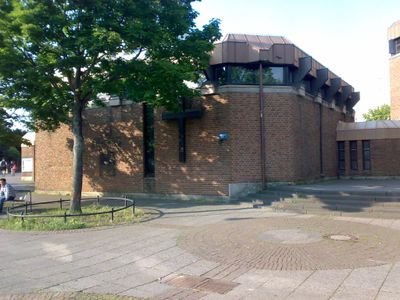
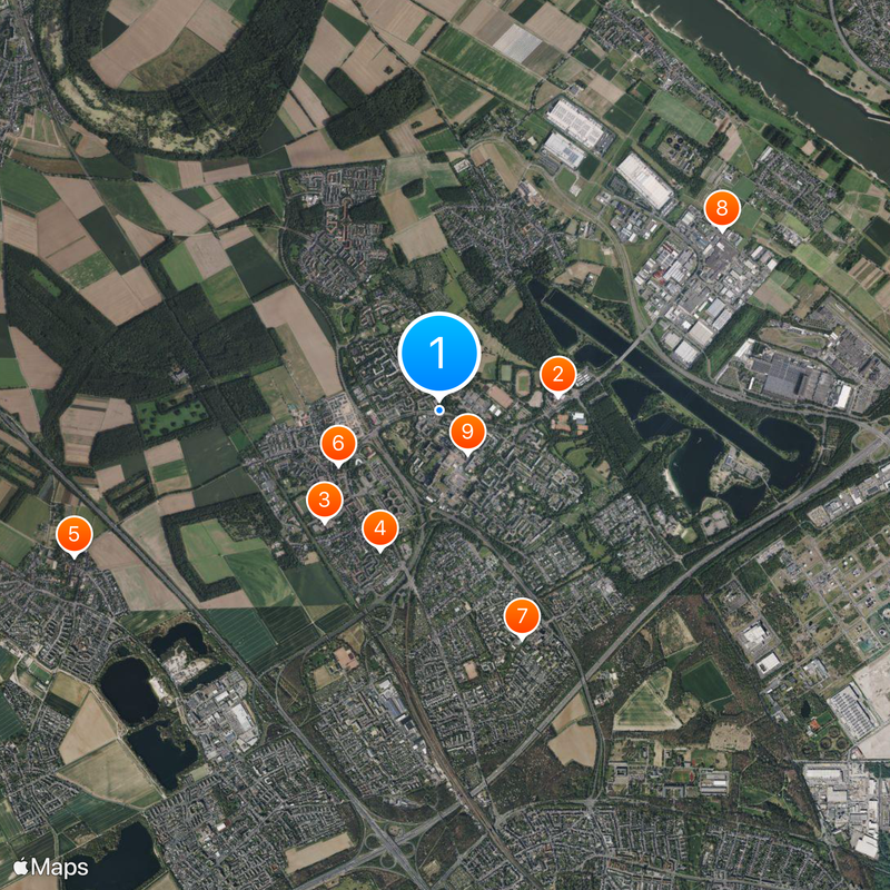
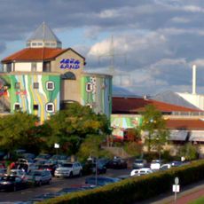
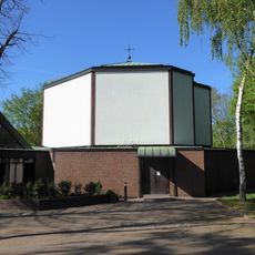
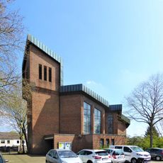
Chorweiler, Modern residential district in Cologne, Germany
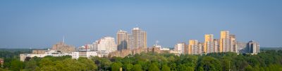
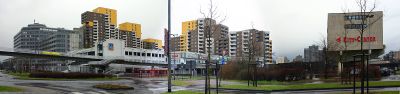
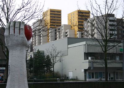
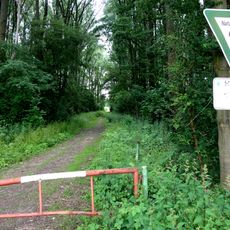
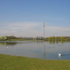
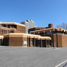
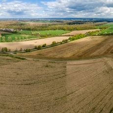
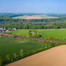
Chorweiler is a modern residential district of Cologne with twelve distinct neighborhoods that combines housing developments with large green areas and rural land. The district spreads across a wide territory and mixes urban structures with natural spaces.
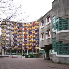
The district became part of Cologne in 1922 and went through major construction after World War II. Large residential complexes were built during that time, shaping the area as we see it today.
The district center hosts regular gatherings that bring together people from different neighborhoods. These events shape how residents interact and create spaces where the community comes together.
The area connects to central Cologne through Stadtbahn lines 12 and 15 as well as several train stations. Visitors find easy access to local facilities and convenient links to other parts of the city.
The district has notably lower population density than other Cologne neighborhoods. This allows for generous green spaces and a less densely built environment compared to more central areas.
Location: Chorweiler
GPS coordinates: 51.02560,6.89611
Latest update: December 7, 2025 09:24
Aqualand Köln
878 m
Heinrich-Mann-Gymnasium Köln
1.2 km
Simultanhalle
1.1 km
St. Martinus
2.9 km
St. Cosmas and Damian
839 m
Kirche Christi Verklärung
1.8 km
DITIB-Zentralmoschee Köln-Chorweiler
2.5 km
Hl. Johannes XXIII.
381 m
St. Katharina von Siena
1.5 km
St. Marien (Köln-Fühlingen)
1.2 km
St. Markus / St. Dimitrios
1.7 km
Kirche Schmerzhafte Mutter Maria
2.5 km
An der Ziegelei
2.3 km
LSG-Fuehlinger See und Freiraum oestlich Fuehlingen
1.4 km
Evangelische Stadtkirche
356 m
Kirche Jesu Christi der Heiligen der Letzten Tage (Köln-Heimersdorf)
1.9 km
St. Elisabeth
3.1 km
Neuapostolische Kirche (Köln-Seeberg)
1.1 km
Landschaftsschutzgebiet Pletschbachtal und Waldbereiche um das Wasserwerk Weiler
2.4 km
Marienkapelle (Köln-Volkhoven)
1 km
Alt St. Cosmas und Damian (Köln-Weiler)
838 m
Worringer Bruch
2.7 km
Kapelle St. Barbara (Rheinkassel)
3.1 km
Gut Heuserhof (Köln-Heimersdorf)
2 km
Wohngruppe Riphahnstraße 9, Köln
985 m
Kartäuserhof (Köln-Volkhoven)
953 m
Pumpwerk Kuhlenweg
3.1 km
Freie Waldorfschule Köln
451 mVisited this place? Tap the stars to rate it and share your experience / photos with the community! Try now! You can cancel it anytime.
Discover hidden gems everywhere you go!
From secret cafés to breathtaking viewpoints, skip the crowded tourist spots and find places that match your style. Our app makes it easy with voice search, smart filtering, route optimization, and insider tips from travelers worldwide. Download now for the complete mobile experience.
A unique approach to discovering new places❞
— Le Figaro
All the places worth exploring❞
— France Info
A tailor-made excursion in just a few clicks❞
— 20 Minutes