
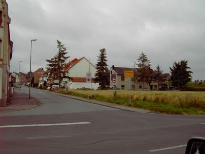
Werth, human settlement in Germany
Location: Stolberg
Elevation above the sea: 240 m
GPS coordinates: 50.78060,6.28222
Latest update: March 13, 2025 14:54
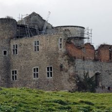
Burg Nothberg
3.6 km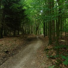
Eschweiler Wald
2.3 km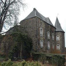
Burg Röthgen
3.7 km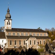
St. Lucia in Stolberg (Rheinland)
3.7 km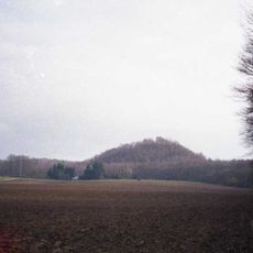
Schwarzer Berg
2.7 km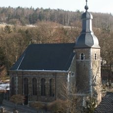
Finkenbergkirche, Stolberg
3.7 km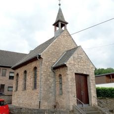
St Barbara's Chapel
2.4 km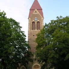
Antoniuskirche, Eschweiler
2.7 km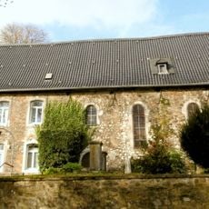
Vogelsangkirche
3.6 km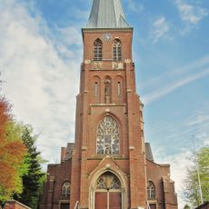
Saint Cecilia Church (Nothberg)
3.4 km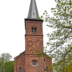
St. Wendelinus
1.2 km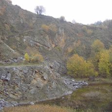
Steinbruchbereiche Bernhardshammer und Binsfeldhammer
3.3 km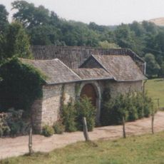
Gressenicher Mühle
1.7 km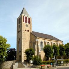
Saint Mark Church
2.6 km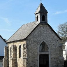
Ursula-Chapel (Gressenich)
1.9 km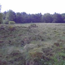
Werther Heide und Napoleonsweg
435 m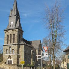
St. Josef
3.2 km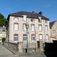
Kupferhof Sonnental
3.7 km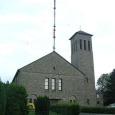
St. Josef
2.9 km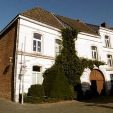
Kupferhof Rose
3.7 km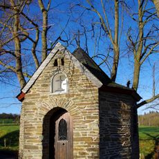
Marienkapelle
2.9 km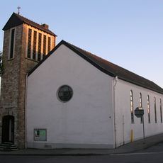
St. Josef
13 m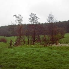
Horstbend-Mausbachquelle
3.2 km
Bergbauwüstungszone im Eschweiler Wald
2.2 km
Mausbachtal
3.1 km
Derichsheck
3.5 km
Eschweiler Wald
2.9 km
Vorfeld des Naturparks Nordeifel westlich und östlich der Vicht
3.3 kmReviews
Visited this place? Tap the stars to rate it and share your experience / photos with the community! Try now! You can cancel it anytime.
Discover hidden gems everywhere you go!
From secret cafés to breathtaking viewpoints, skip the crowded tourist spots and find places that match your style. Our app makes it easy with voice search, smart filtering, route optimization, and insider tips from travelers worldwide. Download now for the complete mobile experience.

A unique approach to discovering new places❞
— Le Figaro
All the places worth exploring❞
— France Info
A tailor-made excursion in just a few clicks❞
— 20 Minutes