Enable Location

We need your location to show you interesting places around you

Discover nearby places

Find interesting locations and hidden gems around you

Precise directions

Get accurate directions and distances to places

Your location is never shared with other users. It's only used when you tap the location button.

Stolberg

Log in to your account

Start exploring — it's free

Trusted by 61,992 travelers worldwide

Continue with Google
Continue with Apple
or

We will send you a code to connect

By continuing, you accept our Terms and Conditions and our Privacy Policy

Check your inbox

We've sent a pincode in your inbox. Please enter the code below.

Stolberg, Urban municipality in North Rhine-Westphalia, Germany.

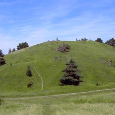
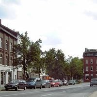
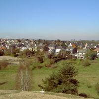
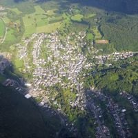
Stolberg is a medium-sized town in the Aachen region of North Rhine-Westphalia, positioned between Aachen city and the Eifel highlands. The settlement sits at around 260 meters elevation and covers valleys dotted with old industrial buildings alongside wooded hilltops.

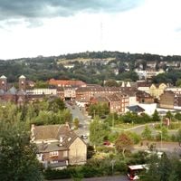
Protestant brass producers settled in the town during the 17th century and turned it into a metalworking center. The industry shaped the town through several centuries into the industrial modern era.

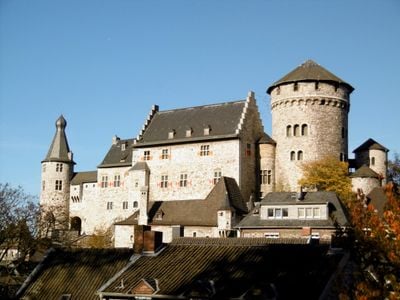
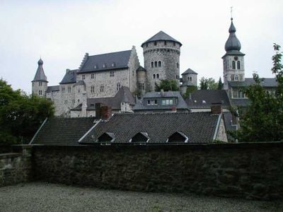
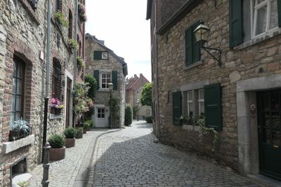
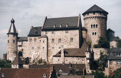
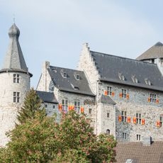
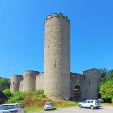
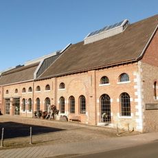
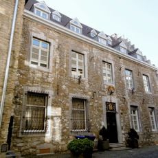
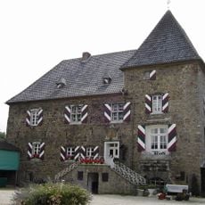
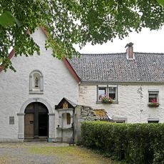
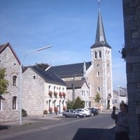
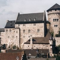
The historic center clusters around the hilltop fortress, while valley floors hold the remaining brass manufacturer mansions known as Kupferhöfe. These estates combine residential quarters with former workshop spaces, showing how business owners once lived alongside their production sites.

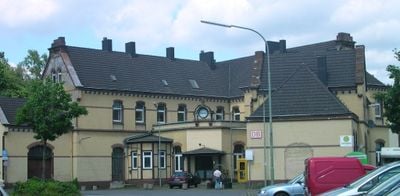
The central railway station links the town to larger cities nearby and offers both regional and faster train connections. The town center can be explored on foot, while hillside areas require walking uphill.

The nickname Copper Town actually refers to brass production rather than copper working. Many old brass yards with their courtyard layouts still stand and shape the townscape today.

The community of curious travelers

AroundUs brings together thousands of curated places, local tips, and hidden gems, enriched daily by 60,000 contributors worldwide.

Start exploring
Elevation above the sea
260 m
Shares border with
Aachen, Eschweiler, Langerwehe, Hürtgenwald, Simmerath, Roetgen
GPS coordinates
50.76667,6.23333
Latest update
December 13, 2025 18:14
« Stolberg - Urban municipality in North Rhine-Westphalia, Germany » is provided by Around Us (aroundus.com). Images and texts are derived from Wikimedia project under a Creative Commons license. You are allowed to copy, distribute, and modify copies of this page, under the conditions set by the license, as long as this note is clearly visible.

Discover hidden gems everywhere you go!

From secret cafés to breathtaking viewpoints, skip the crowded tourist spots and find places that match your style. Our app makes it easy with voice search, smart filtering, route optimization, and insider tips from travelers worldwide. Download now for the complete mobile experience.

Around Us App Screenshot

A unique approach to discovering new places

Le Figaro

All the places worth exploring

France Info

A tailor-made excursion in just a few clicks

20 Minutes

Around Us
Travel Guide & Maps
Download

Send to your phone

QR Code
1

Open the camera app on your mobile.

2

Point at the QR code with your camera. A notification will appear.

3

Tap the notification to open the link.