
Dorff, human settlement in Germany
Location: Stolberg
Elevation above the sea: 260 m
GPS coordinates: 50.74028,6.20056
Latest update: March 21, 2025 21:43
Kornelimünster Abbey
1.8 km
Brander Wald
2 km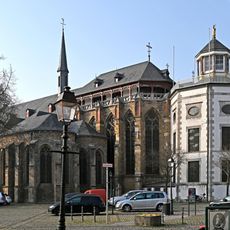
St. Kornelius
1.8 km
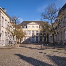
Varnenum
1.3 km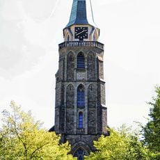
St. Donatus
2.6 km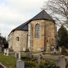
St. Stephanus
1.7 km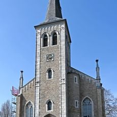
St. Barbara
1.8 km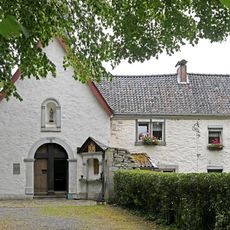
Einsiedelei Kornelimünster
1.7 km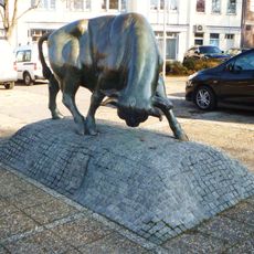
Brander Stier
2.7 km
Burg Schwartzenburg
407 m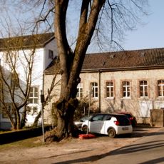
Abteimühle Kornelimünster
1.7 km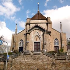
Hubertuskirche, Büsbach
1.5 km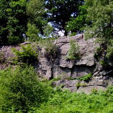
Tatternsteine mit Talaue
2.3 km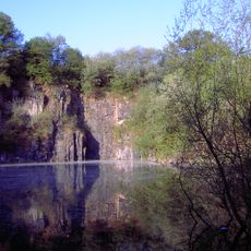
Schomet
2.3 km
Komericher Mühle
1.3 km
Indetal
1.2 km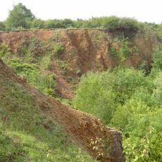
Steinbruchbereich Brockenberg
2.4 km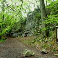
Klauserwäldchen/Frankenwäldchen
1.7 km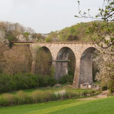
Falkenbachviadukt
2.1 km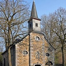
St. Anthony-Chapel
1.6 km
Gut Gedau
2.1 km
Alte Dorffer Linde
241 m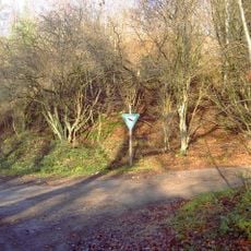
Auf der Rüst
3 km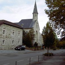
St. Maria Empfängnis (Dorff)
100 m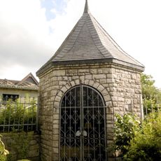
Marienkapelle
122 m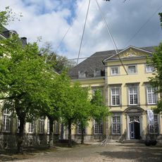
Kunst aus Nordrhein-Westfalen
1.8 km
Brander Wald
2.8 km
Brockenberg
2.4 kmReviews
Visited this place? Tap the stars to rate it and share your experience / photos with the community! Try now! You can cancel it anytime.
Discover hidden gems everywhere you go!
From secret cafés to breathtaking viewpoints, skip the crowded tourist spots and find places that match your style. Our app makes it easy with voice search, smart filtering, route optimization, and insider tips from travelers worldwide. Download now for the complete mobile experience.

A unique approach to discovering new places❞
— Le Figaro
All the places worth exploring❞
— France Info
A tailor-made excursion in just a few clicks❞
— 20 Minutes