Rodewisch, municipality of Germany
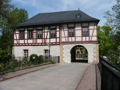
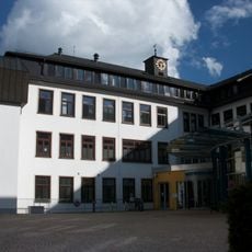
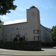
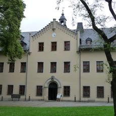
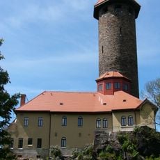
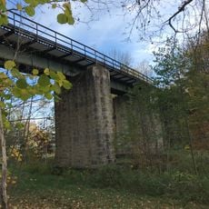
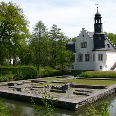
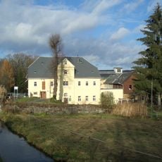
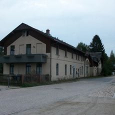
Rodewisch is a small town in the Vogtlandkreis region, nestled in the valleys of Göltzsch and Wernesbach. Known as the Gate to the Erzgebirge-Vogtland Nature Park, it features quiet streets, historic buildings, and a Renaissance-style castle on an island surrounded by water.
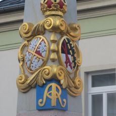
The town first appeared in historical records in 1411 under the name Redewisch and became an official city in 1924. The Renaissance castle on the island dates from an era when such fortified residences were important for local rulers.
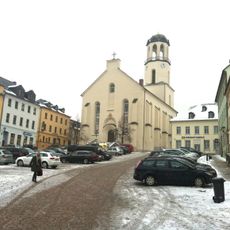
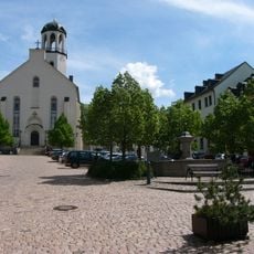
The name Rodewisch comes from its first mention in 1411 as Redewisch. Residents and visitors gather at the central square and around the castle area for markets and festivals where local crafts and customs are shared.
The town has a simple layout that makes it easy to walk around on foot. Both car and public transport are readily available, and distances are short so you can reach any location quickly.
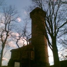
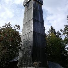
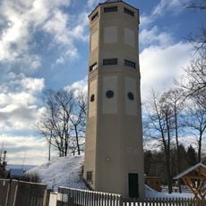
The Göltzsch Museum inside the castle is normally closed but opens during Christmas time with a special exhibition about the town's past and traditions. The Sigmund Jähn planetarium and observatory offers shows about the night sky and constellations with stories for all ages.
The community of curious travelers
AroundUs brings together thousands of curated places, local tips, and hidden gems, enriched daily by 60,000 contributors worldwide.