Schöneck, Saxony, municipality of Germany
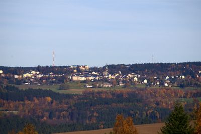
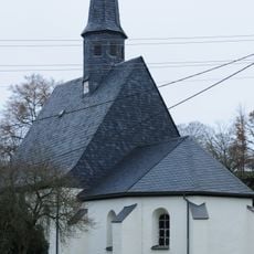
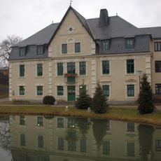
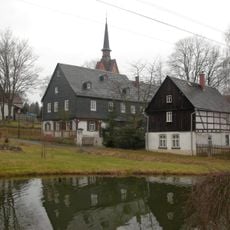
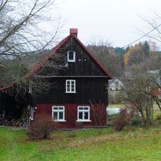
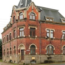
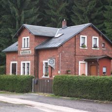
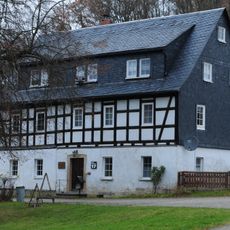
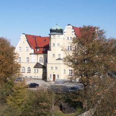
Schöneck is a small town in the Vogtland region of Saxony situated on elevated terrain. The municipality features quiet residential streets with straightforward buildings, green spaces, and a historic center containing a neo-Gothic town hall from 1923 and a church with a tall steeple.
The castle at this location was first recorded in 1225, and the settlement received town rights from Emperor Charles IV in 1370. The fortress was later destroyed, and by 1765 its stones were repurposed for reconstruction, leaving only the site known as Alter Soell as a reminder of the former stronghold.
The town has a tradition of musical instrument making that remains visible in local workshops and small shops today. Residents take pride in keeping this craft tradition alive as part of their community identity.
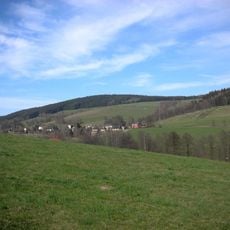
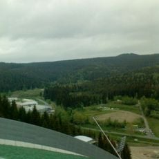
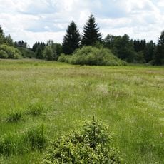
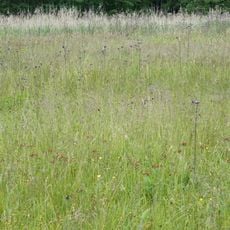
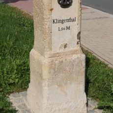
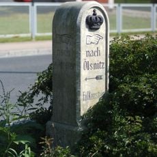
The town is best explored on foot, as streets are quiet and safe with numerous hiking and cycling trails throughout the area. Visitors should expect cool and windy conditions due to the elevated location, and sturdy footwear is recommended for exploring the surrounding terrain.
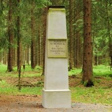
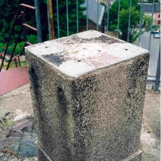
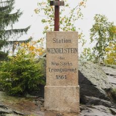
A striking feature is the view from Friedrichstein, a rocky outcrop rising 734 meters high, offering vistas of broad valleys and distant forests on clear days. An old surveying point marked by a triangular column from the late 1800s sits at this location, serving as a historical reminder of the region's cartographic past.
The community of curious travelers
AroundUs brings together thousands of curated places, local tips, and hidden gems, enriched daily by 60,000 contributors worldwide.