
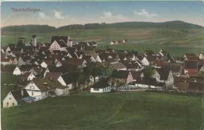
Trochtelfingen, municipality in Germany
Location: Reutlingen
Elevation above the sea: 700 m
Website: http://trochtelfingen.de
GPS coordinates: 48.30806,9.24444
Latest update: March 3, 2025 02:18
Ruine Lichtenstein
8 km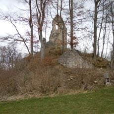
Burg Hohenstein
8 km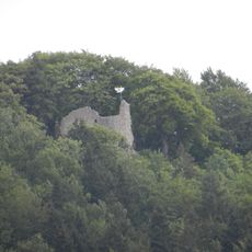
Ruine Stetten
5 km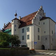
Schloss Werdenberg
183 m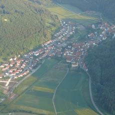
Burg Aufhofen
5.5 km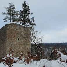
Burg Hohenerpfingen
6.2 km
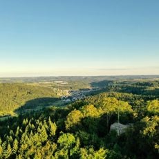
Augstberg
2.7 km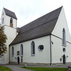
St. Martin (Trochtelfingen)
162 m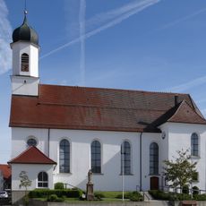
St. Nikolaus
6.2 km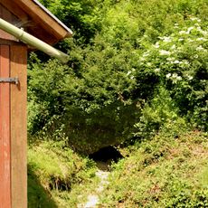
Hausener Bröller
3.8 km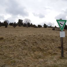
Warmberg
6.6 km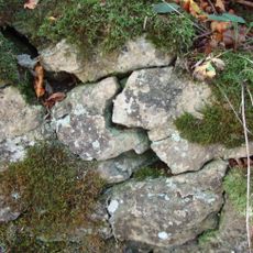
Burg Hielock
2.4 km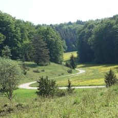
Bauenofen-Häulesrain-Tal
5.9 km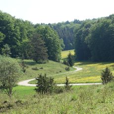
FFH-Gebiet Gebiete um Trochtelfingen
2.7 km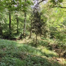
Burg Haideck
2.5 km
Bei der Mühle
4.4 km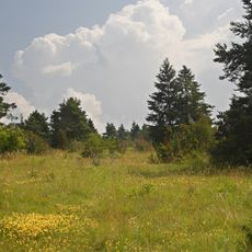
Steinberg-Dürrenfeld
5.9 km
Großer Stöckberg
6.5 km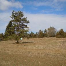
Halmberg
5.1 km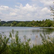
Baggerseen Krauchenwies/Zielfingen
2 km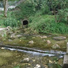
Erpfquelle
6.2 km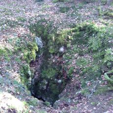
Kobelhöhle
5.8 km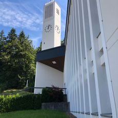
St. Peter und Paul
6.7 km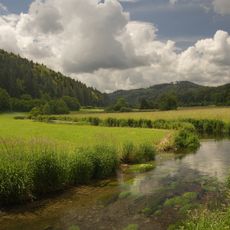
Laucherttal mit Nebentälern
2.8 km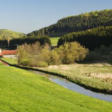
Laucherttal mit Nebentälern
6.6 km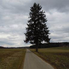
Fichte Lange Heidäcker
8.5 km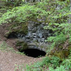
Erdfall (Eulenloch)
6.2 km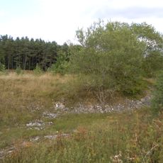
Steinbruch am Gattenberg
3.6 kmVisited this place? Tap the stars to rate it and share your experience / photos with the community! Try now! You can cancel it anytime.
Discover hidden gems everywhere you go!
From secret cafés to breathtaking viewpoints, skip the crowded tourist spots and find places that match your style. Our app makes it easy with voice search, smart filtering, route optimization, and insider tips from travelers worldwide. Download now for the complete mobile experience.

A unique approach to discovering new places❞
— Le Figaro
All the places worth exploring❞
— France Info
A tailor-made excursion in just a few clicks❞
— 20 Minutes