
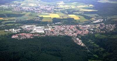
Reichenbach an der Fils, municipality in Germany
Location: Esslingen
Location: Reichenbach an der Fils GVV
Elevation above the sea: 276 m
Website: http://reichenbach-fils.de
GPS coordinates: 48.71000,9.46611
Latest update: March 7, 2025 10:06
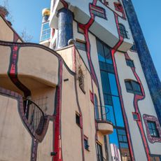
Hundertwasserhaus Plochingen
3.7 km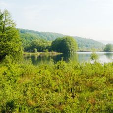
Wernau Quarry Ponds
5.6 km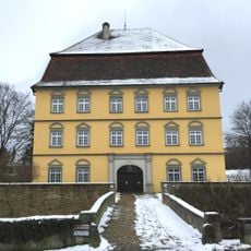
Schloss der Freiherren von Palm (Wernau)
3.8 km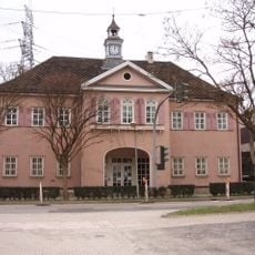
Jagdschloss Hohengehren
5.2 km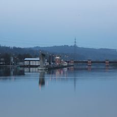
Staustufe Deizisau
6.2 km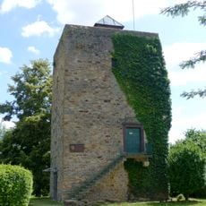
Jubiläumsturm
2.7 km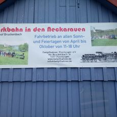
Park railway in the Neckarauen
3.5 km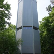
Wasserturm Kirchheim unter Teck
5.4 km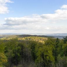
Schurwald
6 km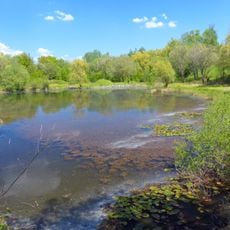
Wernau Clay Pit
4.8 km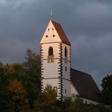
Protestant Church (Plochingen)
3.4 km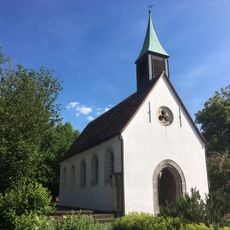
Maria Hilf chapel, Wernau
3.9 km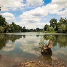
Grienwiesen und Wernauer Baggerseen
5.7 km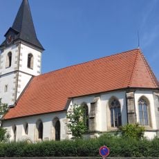
Aegidiuskirche
3.9 km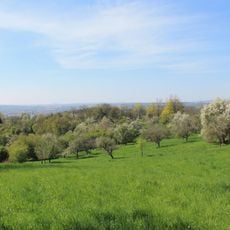
Wernau (Neckar)
4.2 km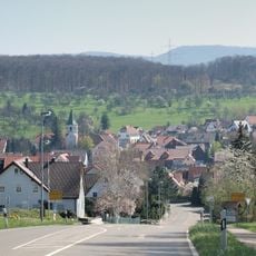
LSG 'Notzingen' (3 Teilgebiete) vom 27.02.1989
4.2 km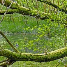
LSG 'Schurwaldrand Altbach-Plochingen-Reichenbach' vom 20.03.1987
4.2 km
Rathaus Baltmannsweiler
3.8 km
Lindenallee mit 35 Winterlinden, 3 Eichen, 1 Bergahorn und 3 Kastanien
5.5 km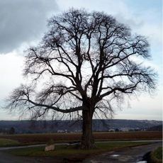
1 Linde (Hungerlinde)
6.1 km
1 Linde
5.6 km
1 Linde bei der Kirche
4.1 km
Eichengruppe (3 Bäume)
3.4 km
Naßwiese Diebshalde
2.7 km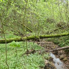
Bachklinge Schweiz
3.2 km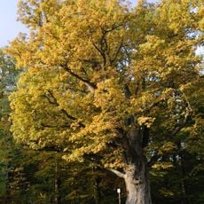
1 Eiche (Bühleiche)
2.6 km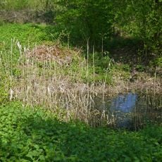
Feuchtgebiet im Gewann Mittlerer See
5.7 km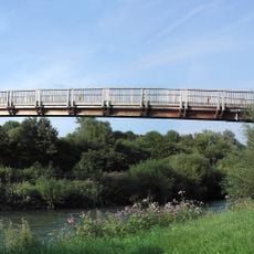
Otto-Munz-Steg
913 mReviews
Visited this place? Tap the stars to rate it and share your experience / photos with the community! Try now! You can cancel it anytime.
Discover hidden gems everywhere you go!
From secret cafés to breathtaking viewpoints, skip the crowded tourist spots and find places that match your style. Our app makes it easy with voice search, smart filtering, route optimization, and insider tips from travelers worldwide. Download now for the complete mobile experience.

A unique approach to discovering new places❞
— Le Figaro
All the places worth exploring❞
— France Info
A tailor-made excursion in just a few clicks❞
— 20 Minutes