Altentreptow, municipality of Germany
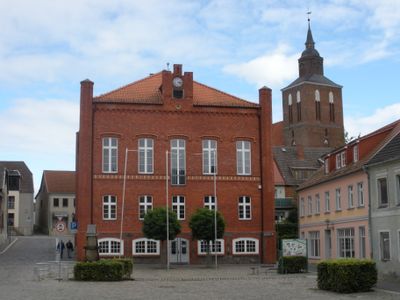
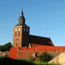
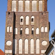
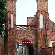
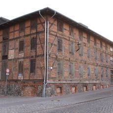
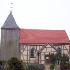
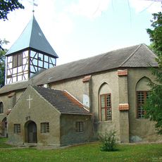
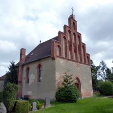
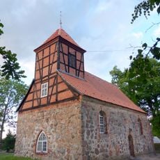
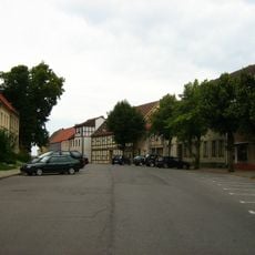
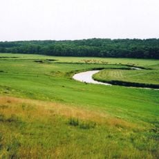
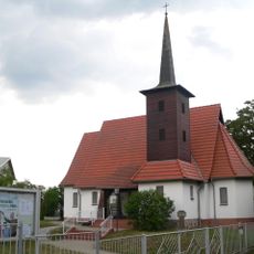
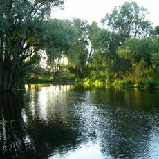
Altentreptow is a small town in the Mecklenburgische Seenplatte district, situated along the Tollense river. The center features a market square surrounded by timber-framed buildings, with the 14th-century St. Petri church standing prominently, while remnants of medieval defensive structures like the Brandenburger Tor gate from around 1450 still stand at the town's edges.
Treptow was first mentioned in writing in 1175 in connection with a monastery, and the town was officially founded in the early 13th century. Medieval prosperity from trade was followed by repeated destruction from fires and wars that wiped out many original structures, leaving only a few defensive remnants like the Brandenburger Tor.
The name Altentreptow comes from "Treptow an der Tollense," referring to the town's location along the river. Today, local people gather on the market square where neighbors share stories and buy fresh goods, showing how the community continues its everyday customs and connections.
The town is easy to explore on foot or by bicycle, with streets radiating from the central market square. You will find small hotels and guesthouses nearby, and spring through summer offers the best visiting conditions when weather is mild and the natural surroundings are in bloom.
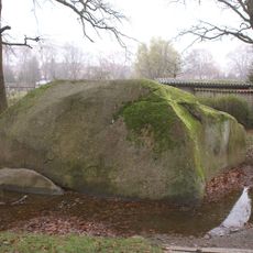
On Klosterberg hill stands the Großer Stein, a large granite block with a local legend claiming the Devil himself threw it there. Much of the stone remains buried in the ground, and its true size and weight remain a mystery to this day.
The community of curious travelers
AroundUs brings together thousands of curated places, local tips, and hidden gems, enriched daily by 60,000 contributors worldwide.