Hiddenhausen, municipality of Germany
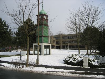
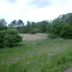
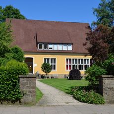
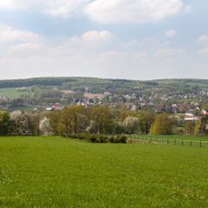
Hiddenhausen is a small municipality in the Herford district with quiet residential neighborhoods and gentle rolling countryside. The town comprises six districts, each retaining its own character, with tree-lined streets, local shops, and small public gardens scattered throughout the communities.
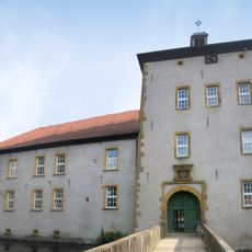
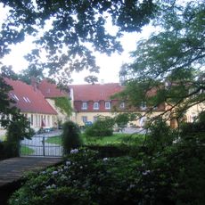
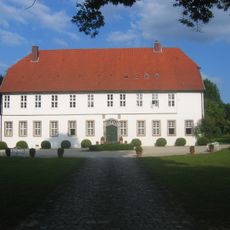
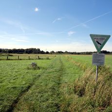
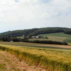
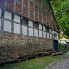
Hiddenhausen was formed in 1969 when several historic villages merged while maintaining their individual identities and place names. The area has agricultural roots that remain visible today in preserved farmhouses and the traditional rhythms of community life.
The name Hiddenhausen reflects the area's settlement history and the identity of its communities that merged together. Visitors can experience this local tradition during church gatherings and seasonal festivals where residents celebrate their shared heritage through food, music, and gathering in town squares.
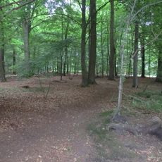
The town is easily accessible by local buses and pleasant to explore on foot, with quiet streets and manageable distances throughout. Small cafes and bakeries serve daily needs, and nearby walking and cycling paths connect to surrounding countryside and neighboring towns.
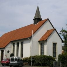
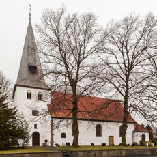
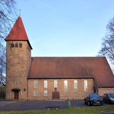
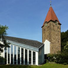
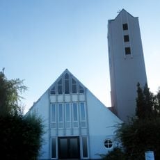
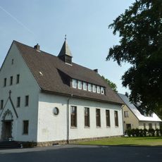
The town is home to the historic Church of Saint Gangolf where residents have gathered for generations, allowing visitors to experience how deeply community life remains connected to its past. This building serves as the heart where the town's memories and daily life intersect.
The community of curious travelers
AroundUs brings together thousands of curated places, local tips, and hidden gems, enriched daily by 60,000 contributors worldwide.