St. Johann, municipality in Germany
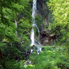
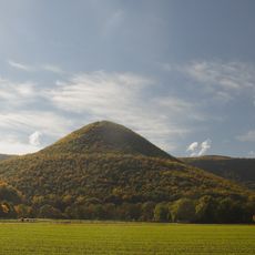
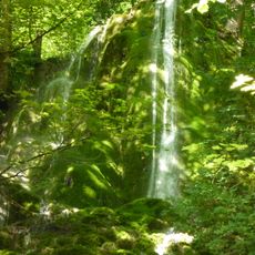
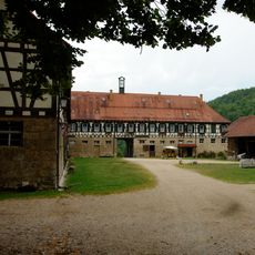
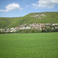
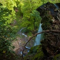
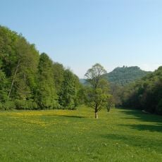
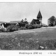
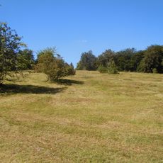
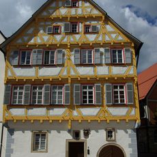
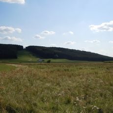
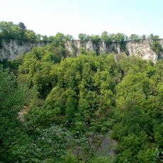
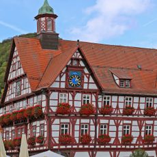
St. Johann is a municipality of six smaller villages, including Würtingen and Gächingen, situated on the Swabian Alb between 1,970 and 2,790 feet (600 to 850 meters) elevation. The landscape consists of wooded hills, limestone formations, limestone caves, and open fields dotted with traditional farmhouses and centuries-old churches.
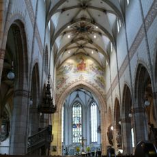
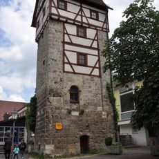
St. Johann and its villages such as Würtingen and Gächingen are documented from the 11th to 13th centuries, establishing deep historical roots in the region. The local horse stud dates to the 1600s and the Evangelical Church in Würtingen to the 1700s, reflecting centuries of continuity in agricultural and craft traditions.
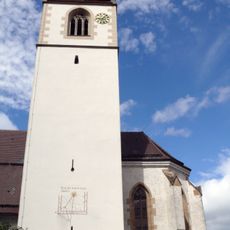
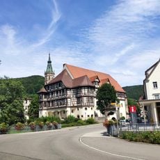
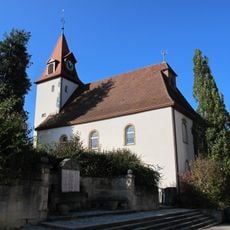
The name St. Johann comes from the local St. John's Church, a central landmark in the community. Agricultural traditions remain woven into daily life through farming practices and horse keeping, which are reflected in the local symbols and family routines.
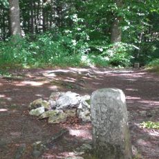
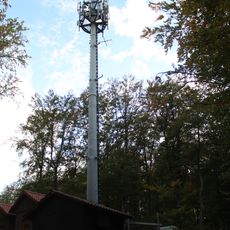
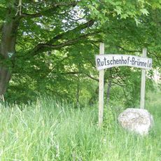
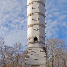
St. Johann is connected to nearby towns like Reutlingen and Bad Urach by bus service, as there is no train station. The area offers marked walking trails and cycling paths through forests and along streams that are freely accessible to visitors throughout the year.
The municipality is part of the UNESCO Biosphere Reserve Swabian Alb, a protected area that preserves rare forest types and limestone wetlands. This designation makes it significant for nature conservation and ecotourism in the region.
The community of curious travelers
AroundUs brings together thousands of curated places, local tips, and hidden gems, enriched daily by 60,000 contributors worldwide.