Plettenberg, Mountain summit in Baden-Württemberg, Germany
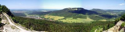
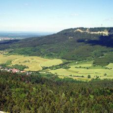
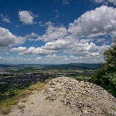
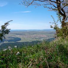
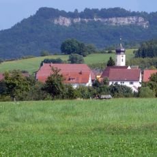
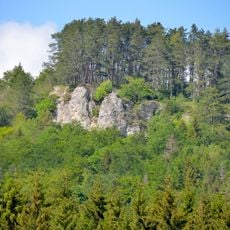
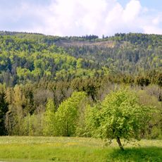
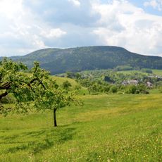
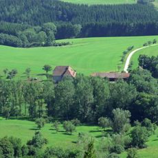
Plettenberg is a mountain summit in the Swabian Jura with three distinct peaks rising just above 1000 meters in elevation. A telecommunications tower stands on the northern peak, while a staffed refuge hut sits lower on the southern slopes offering food and drinks to visitors.
The mountain received a telecommunications tower in the late 20th century, which became a visible landmark in the region. Industrial use and recreational development began to shape the mountain in tandem with each other.
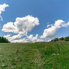
The mountain serves as a gathering place for hikers and locals who come to share meals and enjoy views across the Swabian Jura. The refuge hut here creates a natural meeting point where people experience the landscape together.
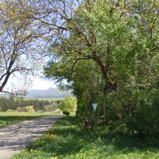
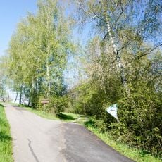
This mountain is reached by hiking trails from multiple directions, offering different levels of difficulty for various fitness levels. A staffed refuge partway up the southern slopes provides a good stopping point with food and refreshments along the way.
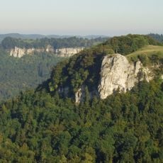
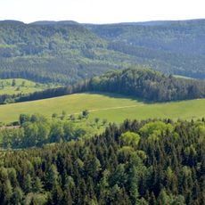
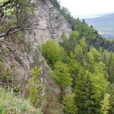
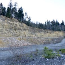
Limestone has been extracted from the mountain for decades and transported by cable car system down to a cement factory in the valley below. This industrial operation runs alongside the recreational use of the slopes by hikers and visitors.
The community of curious travelers
AroundUs brings together thousands of curated places, local tips, and hidden gems, enriched daily by 60,000 contributors worldwide.