Waldbröl, Urban municipality in Oberbergischer Kreis, Germany.
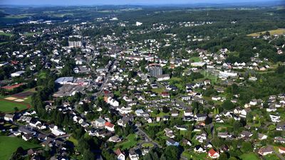
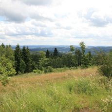
Waldbröl is an urban municipality in Oberbergischer Kreis, situated at an elevation of 311 meters in North Rhine-Westphalia. The town functions as a regional shopping center with administrative facilities and various retail services.
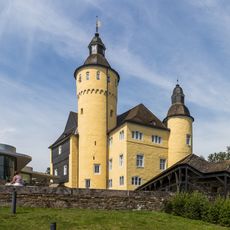
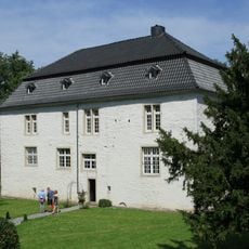
First documented in 1131 under the name Waltprugele, the settlement remained small until gaining official town status in 1957. Post-war reconstruction significantly reshaped its infrastructure and character.
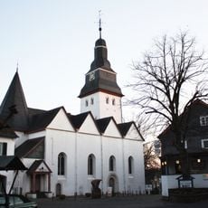
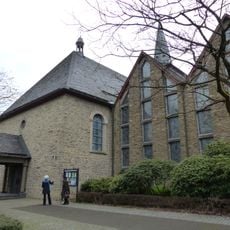
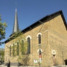
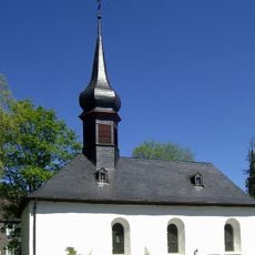
A Protestant church with a Romanesque steeple dominates the center, anchoring community life since medieval times. The town hosts regular cattle markets that continue to draw traders and visitors, maintaining a tradition connected to its rural heritage.
The town is easy to reach and offers good shopping facilities in the center with adequate infrastructure for visitors. The municipal administration is available for local information and assistance.
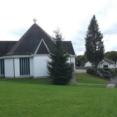
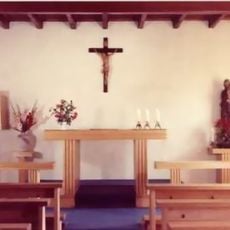
A Buddhist community center affiliated with the European Institute of Applied Buddhism operates here, bringing an unexpected spiritual presence to a traditional German town. This connection draws visitors interested in both local culture and meditation practice.
Location: Oberbergischer Kreis
Elevation above the sea: 311 m
Website: https://waldbroel.de
GPS coordinates: 50.87889,7.61500
Latest update: December 14, 2025 21:22
Panarbora Park
2.1 km
Homburg Castle
6.8 km
Denklingen Castle
4.9 km
Kirche Nümbrecht
5.8 km
Hohes Wäldchen
7.6 km
Saint Michael Church
377 m
Holsteins Mühle
7.1 km
Evangelische Kirche Waldbröl
366 mBurg Isengarten
433 m
Hl. Geist Kirche
6 km
Antoniuskapelle
4.9 km
St. Hubertus (Grötzenberg)
3.5 kmGalgenberg <Zone I und II>
5.2 kmEhemaliges Amtshaus Denklingen
4.8 kmSchnörringer Bachtal
5 kmMagerwiese Bettenhagen
4.7 kmLaubwaldkomplex Starksfeld und Rennbahnsköpfchen
6.9 km
Aussichtsturm Auf dem Lindchen
5.4 kmNeuenhähnen
7.1 km
Scenic viewpoint
2.4 kmLSG-Nuembrecht, Waldbroel
4.7 kmLaubwald mit Quellrinnen südlich Schloss Homb
6.7 kmWesterbachtal
3.3 kmFeuchtgebiet Harscheider Bach-Tal bei Geringhauser Mühle
4.9 kmSt. Antonius
5 kmHohes Wäldchen II
7.5 kmHangmulde Strasserhof
6 kmElisenthal und angrenzende Wälder
5.9 kmVisited this place? Tap the stars to rate it and share your experience / photos with the community! Try now! You can cancel it anytime.
Discover hidden gems everywhere you go!
From secret cafés to breathtaking viewpoints, skip the crowded tourist spots and find places that match your style. Our app makes it easy with voice search, smart filtering, route optimization, and insider tips from travelers worldwide. Download now for the complete mobile experience.
A unique approach to discovering new places❞
— Le Figaro
All the places worth exploring❞
— France Info
A tailor-made excursion in just a few clicks❞
— 20 Minutes