Marienheide, municipality in the Oberbergischer Kreis, in Northrhine-Westfalia, Germany
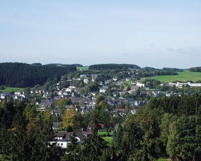
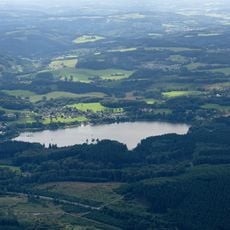
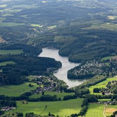
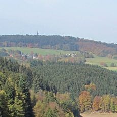
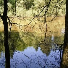
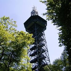
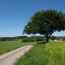
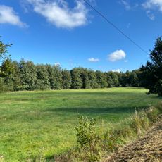
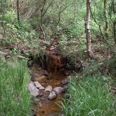
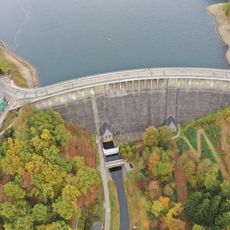
Marienheide is a small municipality in the Oberbergischer Kreis district of North Rhine-Westphalia, surrounded by forests and rolling hills with elevations ranging from 250 to 500 meters (820 to 1,640 feet). The town features traditional half-timbered and stone houses, several churches of different periods, and two nearby artificial lakes set within fields and woodland strips.
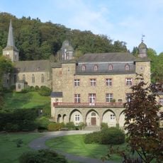
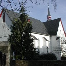
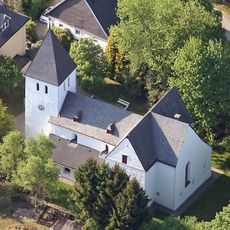
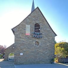
The settlement was first documented in 1417 as Mergenheyde and grew around a chapel founded by a hermit named Heinrich, who according to legend experienced a vision of the Virgin Mary. Over centuries, it developed into a municipality with several churches, some tracing their roots back to the 13th century.
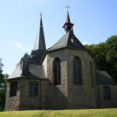
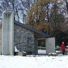
The town's identity is rooted in Catholic faith and farming traditions that remain visible in daily life. The pilgrimage church of St. Mary's stands at the heart of community gatherings, where locals meet for summer celebrations and religious processions that connect past and present.
The town is easily reached by train and bus, particularly via the Oberbergische Bahn with connections to Gummersbach, Meinerzhagen, and Cologne. The municipality has pedestrian-friendly town centers with paths for walkers and cyclists, while hikers and bikers can explore the surrounding forests and hill country.
A notable feature is the annual summer pilgrimage to the church of St. Mary, rooted in a medieval hermit's reported vision of the Virgin Mary. This tradition shows how one person's spiritual experience more than 600 years ago led to the founding of an entire community.
The community of curious travelers
AroundUs brings together thousands of curated places, local tips, and hidden gems, enriched daily by 60,000 contributors worldwide.