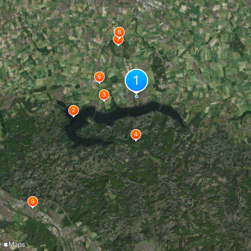
Möhnesee, Municipality near Möhne Reservoir in Soest, Germany
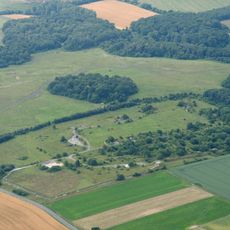
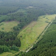
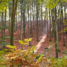
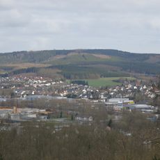
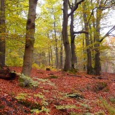
Möhnesee is a municipality in the Soest region that spreads across gently rolling terrain and forested landscapes. The area sits along the border between flat lowlands and the hilly Sauerland, where the Möhne Reservoir is also located.
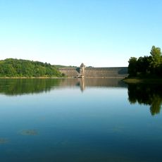
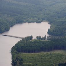
The municipality formed around the creation of the Möhne Dam in the early 1900s, which fundamentally changed the region. A pivotal moment came in 1943 when RAF bombers damaged the dam, causing severe flooding downstream.
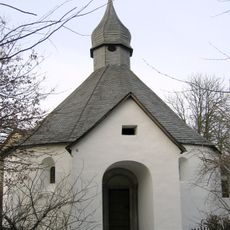
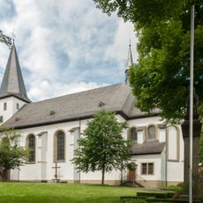
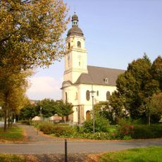
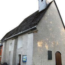
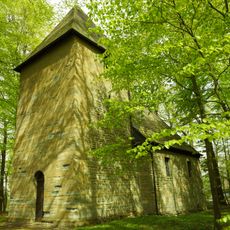
The Drueggelter Kapelle serves as a gathering place for worshippers within the community, hosting regular religious services. This small church remains central to the spiritual life of local residents.
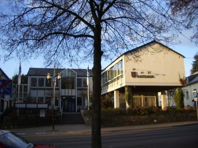
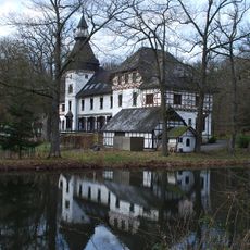
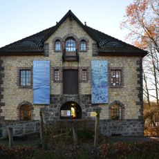
The municipality is a good destination for visitors wanting to explore nature, water features, and hiking trails. Local infrastructure provides reasonable amenities, but it helps to have a sense of the scattered villages to navigate effectively.
The reservoir was originally built as a water storage facility for industry and shipping, but over decades became an important recreation and nature conservation area. Today the lake offers opportunities for water sports and bird watching, even though its wartime history remains part of the region's memory.
Location: Soest
Elevation above the sea: 241 m
Shares border with: Arnsberg, Ense
Website: https://gemeinde-moehnesee.de
GPS coordinates: 51.49583,8.13056
Latest update: December 12, 2025 18:32
Möhne Reservoir
4.6 km
Drüggelter Kapelle
2.3 km
Jagdschloss Sankt Meinolf
3.1 km
Bismarck Tower
2.8 km
St. Pankratius
187 m
Standortübungsplatz bei Büecke
3.8 km
Steinkammergrab Hiddingsen
4.3 km
St. Maria Magdalena
10.7 km
Möhnetal
4.6 km
Arnsberger Wald
5.1 km
Hevearm und Hevesee
5.2 km
Lemmberg
8.3 km
Vogelschutzgebiet 'Möhnesee'
2.4 km
Kapelle Rodentelgen
11 km
St. Antonius
5.9 km
St.-Antonius-Kapelle (Niederbergheim)
6.9 km
Möhne-Westerwald-Weg
4.8 km
St. Urbanus
8.4 km
Landschafts-Informationszentrum
5.7 km
Arnsberger Wald
8.6 km
Möhneseeturm
2.2 km
Wannebach
9.4 km
Unterlauf des Gerwinsiepens
8.8 km
Waldreservat Moosfelde
8.2 km
Naturdenkmal 2 Eichen (Arnsberg-Bruchhausen)
10.4 km
LSG-Bittinger Talzug/Bilmer Grund
8 km
Mittellauf des Stemmwegsiepens mit angrenzender Buchenwaldinsel
7.8 km
Oberlauf des Meimkebaches
7.8 kmVisited this place? Tap the stars to rate it and share your experience / photos with the community! Try now! You can cancel it anytime.
Discover hidden gems everywhere you go!
From secret cafés to breathtaking viewpoints, skip the crowded tourist spots and find places that match your style. Our app makes it easy with voice search, smart filtering, route optimization, and insider tips from travelers worldwide. Download now for the complete mobile experience.
A unique approach to discovering new places❞
— Le Figaro
All the places worth exploring❞
— France Info
A tailor-made excursion in just a few clicks❞
— 20 Minutes