Zollbuche, Historical border point in Gladenbach Bergland, Germany
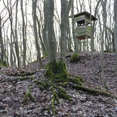
Zollbuche is a road intersection in the Gladenbach Bergland region of Hesse, sitting at about 400 meters elevation. The federal road B255 meets the regional road L3047 here, marking the watershed line between the Aar and Salzböde rivers.
From medieval times until 1628, this location marked the border between Hessen-Darmstadt and the County of Solms, serving as a customs checkpoint. The site was part of territorial defense strategies for the Landgraviate during that period.
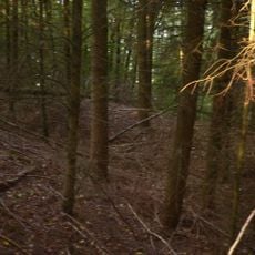
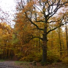
The old oak tree here once served as a farewell spot where migrant workers said goodbye before traveling onward. This landmark shows how meaningful this crossroads was for people passing through the region.
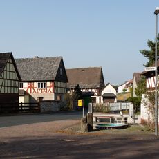
The site is accessible by car via both roads, connecting the towns of Gladenbach, Bischoffen, and Giessen. Be prepared for hilly terrain and varying ground conditions typical of the Bergland region.
The location was part of the Aussenheege, a 16-kilometer hedge system designed to shield the Landgraviate from outside threats. This vegetation-based defense line was more than a boundary, it was an actual physical barrier.
The community of curious travelers
AroundUs brings together thousands of curated places, local tips, and hidden gems, enriched daily by 60,000 contributors worldwide.