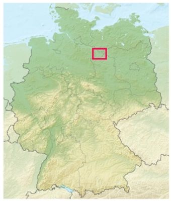
Wendland, Natural landscape in Lüchow-Dannenberg District, Germany
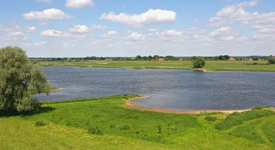
Wendland is a natural landscape in Lüchow-Dannenberg District, stretching across sandy terrain with pine forests, meadows, and the Drawehn ridge formed during the Saale glaciation period. The area is crossed by small rivers and shows an open agricultural landscape with scattered patches of woodland.
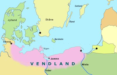
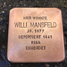
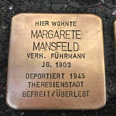
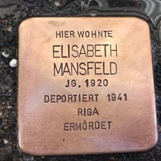
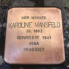
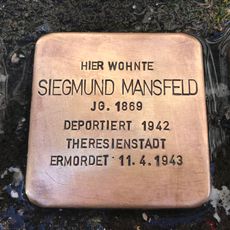
The name Wendland originated around 1700 when a Wustrow priest used it to describe the Polabian Slavic inhabitants, their language, and customs in the area. The Slavic population settled in the region since the Middle Ages and shaped the landscape through their building style permanently.
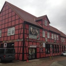
The region contains over 100 circular Rundling villages, where houses form a ring around a central green space, reflecting medieval German-Slavic settlement patterns. This village structure still facilitates community life today and has endured for centuries as a practical building method.
Located at the intersection of four German states, the region provides multiple access points through Brandenburg, Mecklenburg-Western Pomerania, Lower Saxony, and Saxony-Anhalt. Those exploring the area will find a network of country roads winding through wide open fields and small woodland patches.
The area maintains Germany's largest motorway-free zone and displays the highest concentration of rural artists, with numerous initiatives in organic farming. Visitors often encounter small farm shops, studios, and agricultural projects along the roads.
The community of curious travelers
AroundUs brings together thousands of curated places, local tips, and hidden gems, enriched daily by 60,000 contributors worldwide.