
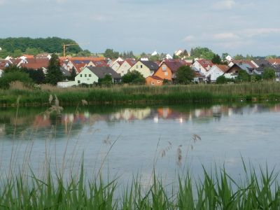
Stegaurach, municipality of Germany
Location: Bamberg
Elevation above the sea: 268 m
Part of: Verwaltungsgemeinschaft Stegaurach
Website: http://stegaurach.de
GPS coordinates: 49.86333,10.84361
Latest update: March 18, 2025 18:31

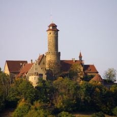
Burg
2.7 km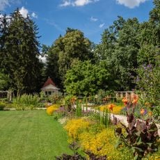
Volksgartenanlage
4.6 km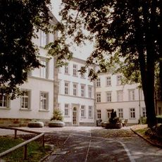
E.T.A. Hoffmann-Gymnasium Bamberg
4.1 km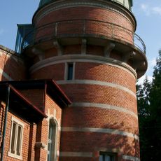
Dr.-Remeis-Sternwarte
4 km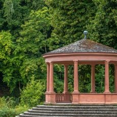
Monopteros Theresienhain in Bamberg
4.3 km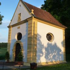
Kapelle
376 m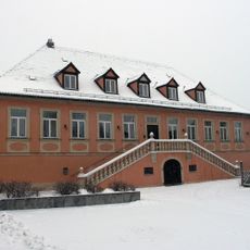
Landhaus
79 m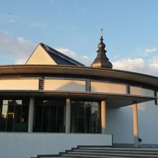
Kirche
23 m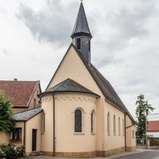
Filialkirche
4 km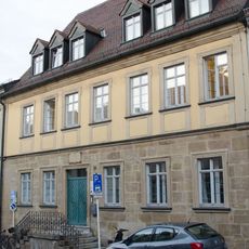
Bürgerhaus
3.9 km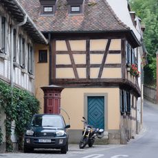
Cultural heritage D-4-61-000-1120 in Bamberg
4 km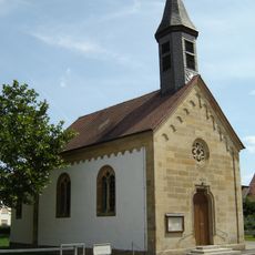
Kapelle
4.7 km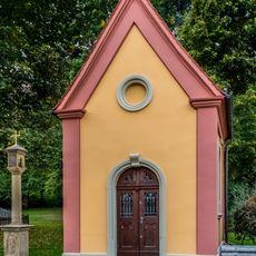
Kapelle
2.3 km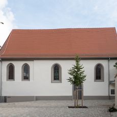
Kapelle
4.1 km
Erdbauten des Ludwig-Donau-Main-Kanals #30
4.9 km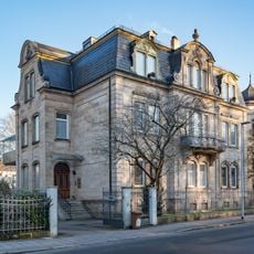
Stadtvilla
4.5 km
Abschnitt des Ludwig-Donau-Main-Kanals
4.8 km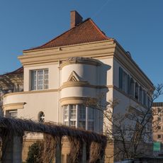
Sodenstraße 4
4.6 km
Bruderwald mit Naturwaldreservat Wolfsruhe
4.6 km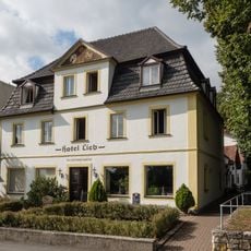
Gasthaus
4.4 km
Laurenziplatz, Brunnen
3.6 km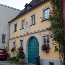
Wohnhaus
3.7 km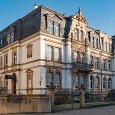
Doppelhaus
4.5 km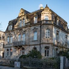
Stadtvilla
4.5 km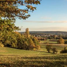
Schutz der Landschaftsräume Altenburg - Rothof im Gebiet der Stadt Bamberg
2.7 km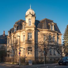
Villa
4.5 km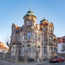
Villa
4.5 km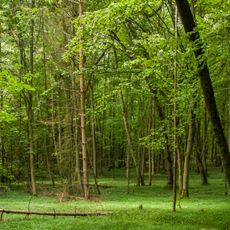
Naturwaldreservat Wolfsruhe
4.5 kmVisited this place? Tap the stars to rate it and share your experience / photos with the community! Try now! You can cancel it anytime.
Discover hidden gems everywhere you go!
From secret cafés to breathtaking viewpoints, skip the crowded tourist spots and find places that match your style. Our app makes it easy with voice search, smart filtering, route optimization, and insider tips from travelers worldwide. Download now for the complete mobile experience.

A unique approach to discovering new places❞
— Le Figaro
All the places worth exploring❞
— France Info
A tailor-made excursion in just a few clicks❞
— 20 Minutes