Altshausen, municipality in Germany
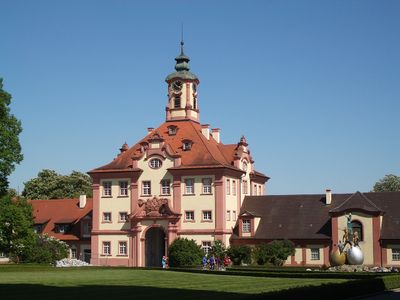
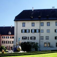
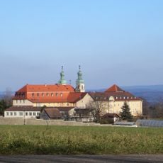
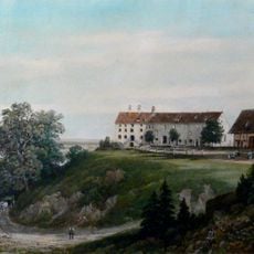
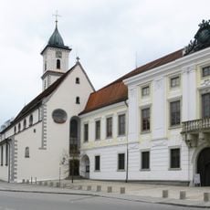
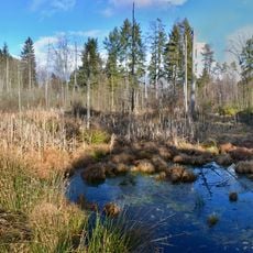
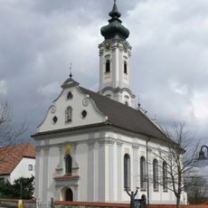
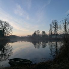
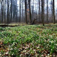
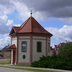
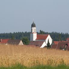
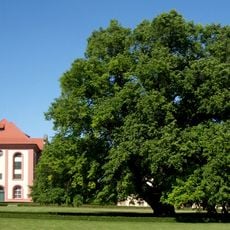
Altshausen is a small municipality in the Ravensburg district of Baden-Württemberg, situated at the foot of the Swabian Alb and surrounded by several lakes. The village is dominated by its 18th-century castle built in baroque style, which sits on a hill overlooking the streets and homes, while St. Michael's Church with its old bell tower and centuries-old windows also shapes the character of the place.
Altshausen was first mentioned in writing in 1004 and developed as a settlement around its castle and church. The Teutonic Order took control in 1264 and held power until 1806, after which the territory came under Bavarian and later Württemberg rule, shaping the village as it appears today.
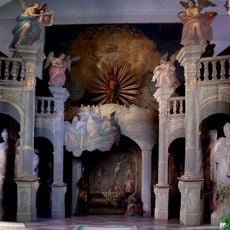
The village takes its name from its ancient roots, with settlements that grew around the castle and church over time. The Duchess of Württemberg, Diane, actively shapes the cultural landscape through her sculptures of angels in bronze and ceramics, which visitors can see throughout the castle grounds and near the church, representing themes of protection and guidance.
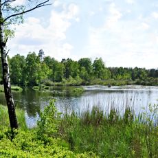
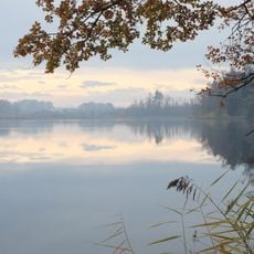
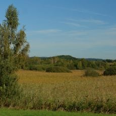
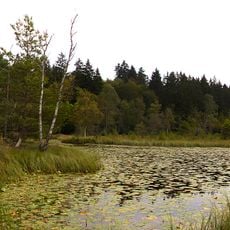
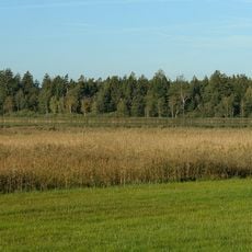
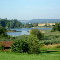
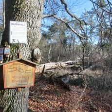
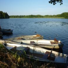
The village is best explored on foot, with major sights such as the castle, church, and lakes within short walking distance from the market square. Good cycling paths wind through the surrounding meadows and fields, and the nearby Schlosssee lake with its clear waters offers ideal conditions for swimming and relaxation.
Hermann the Lame, a notable 11th-century scholar and monk, was born nearby and remains an important historical figure commemorated in the village, with part of his skull kept in the church. The Duchess Diane of Württemberg created artistic works including angel sculptures named after Hebrew mystical traditions such as Sitael and Mitzrael, which are scattered throughout the castle grounds.
The community of curious travelers
AroundUs brings together thousands of curated places, local tips, and hidden gems, enriched daily by 60,000 contributors worldwide.