Langerwehe, municipality in the Düren district, in North Rhine-Westphalia, Germany
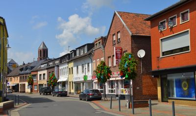
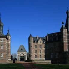
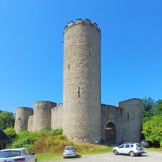
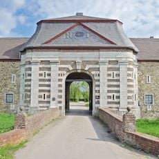
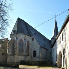
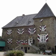
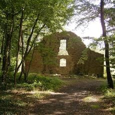
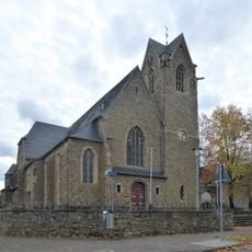
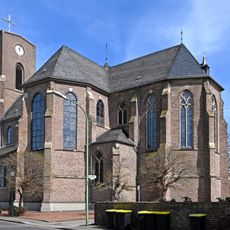
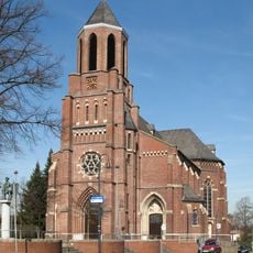
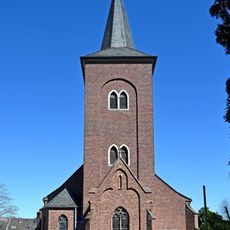
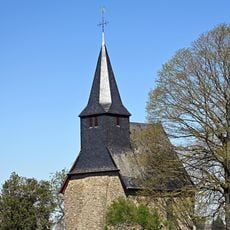
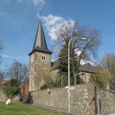
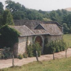
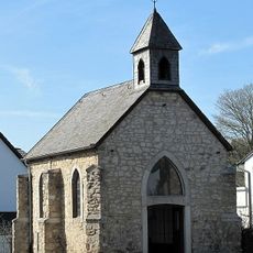
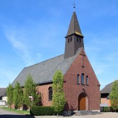
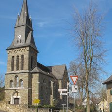
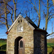
Langerwehe is a municipality in Düren district, North Rhine-Westphalia, made up of several villages set among forests and gentle hills. The area contains historic landmarks such as Schloss Merode, church ruins, chapels, and the remains of a Franciscan monastery.
Langerwehe formed from three older settlements: Rymelsberg from Frankish times, Ules with early pottery workshops, and Zu Wehe at a road crossing. From around the year 1000, stoneware production shaped the local economy for centuries.
The name Langerwehe comes from three older settlements that came together at old road crossings. The pottery tradition still shapes how people here see their community, and it remains alive through a local museum and seasonal markets.
The area is easy to explore on foot or by bike, with a well-developed network of paths through forests and fields. Train and bus connections link the municipality to larger cities such as Aachen and Cologne.
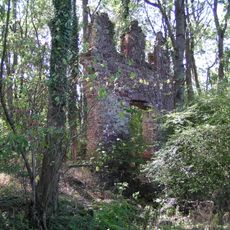
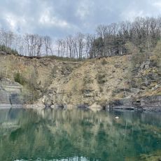
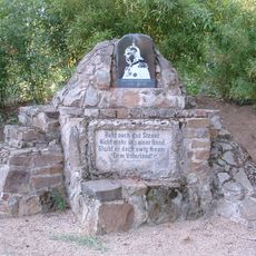
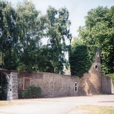
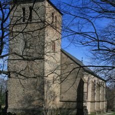
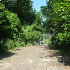
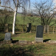
The Schwarzenbroich monastery, founded in the 13th century, now lies half-hidden in the forest, where only brick walls and a memorial stone to the Apostle Matthias remain. Visitors who wander off the main path can still find these remnants among the trees.
The community of curious travelers
AroundUs brings together thousands of curated places, local tips, and hidden gems, enriched daily by 60,000 contributors worldwide.