Velen, town in the district of Borken, in North Rhine-Westphalia, Germany
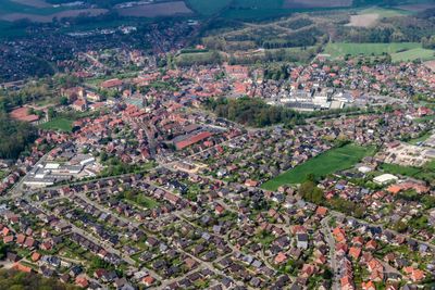
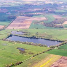
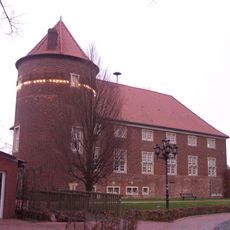
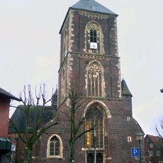
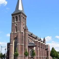
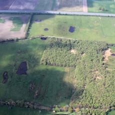
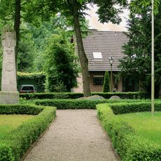
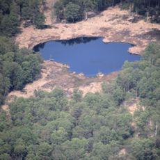
Velen is a small town in the Borken district of North Rhine-Westphalia. It comprises two main settlements, Velen and Ramsdorf, about five kilometers apart, surrounded by green fields, streams, and two castles with moats.
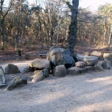
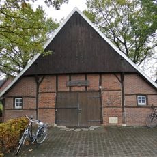
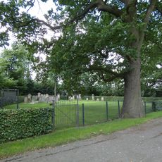
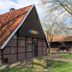
Velen traces its roots back many centuries to its origins as a farming community. The two castles and traditional farmhouses bear witness to a past rooted in agriculture, with the landscape and settlement patterns remaining largely unchanged over generations.
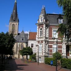
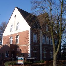
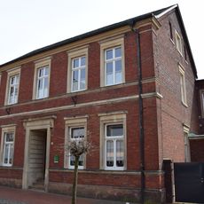
The name Velen reflects centuries of local tradition and continues to shape community life today. Traditional brick buildings with pitched roofs line the streets, where residents and visitors experience the relaxed pace and strong connection to rural heritage.
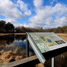
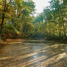
Velen is easy to explore by bike or on foot due to light traffic and safe paths throughout the town. Nearby towns like Borken are less than 15 minutes away by car, while larger cities such as Münster and Dortmund are under an hour away.
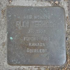
A historical connection to the painter Rembrandt exists through Hendrickje Stoffels, a 17th century resident who had a close relationship with the famous artist. This overlooked link connects the small town to an important figure in art history.
The community of curious travelers
AroundUs brings together thousands of curated places, local tips, and hidden gems, enriched daily by 60,000 contributors worldwide.