Mering, market municipality of Germany
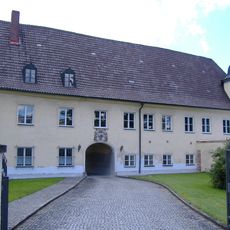
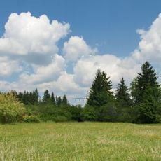
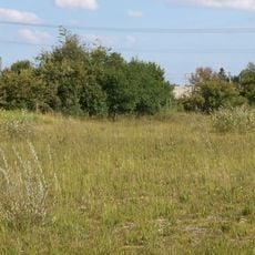
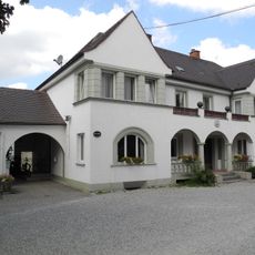
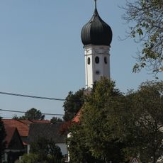
Mering is a market municipality in the Aichach-Friedberg district of Bavaria and covers rural areas with homes, fields, and smaller settlements. The municipal area connects several of these communities together and forms a single administrative unit.
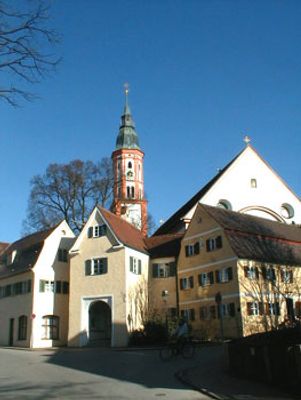
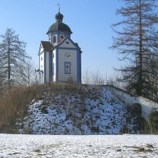
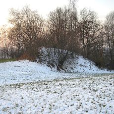
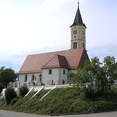
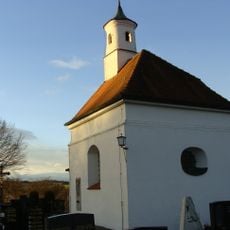
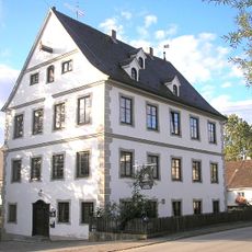
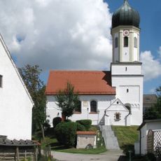
The area around Mering was settled in early times and later developed into an important market municipality for the surrounding region. This role as a local trading center has shaped the town's structure and position to this day.
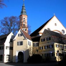
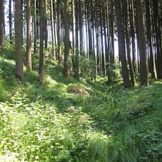
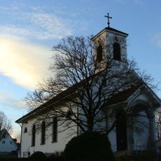
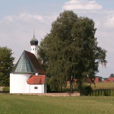
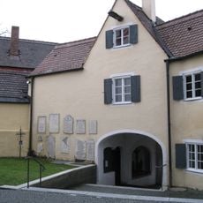
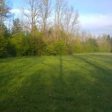
The name Mering reflects its origins in early settlement patterns of the region. Today, the community shows its rural character through a mix of residential areas, farms, and smaller hamlets that blend together in the landscape.
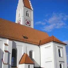
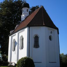
As a rural municipality, Mering offers typical facilities of a Bavarian town with local services and amenities. Those exploring the area should arrive by car, as public transportation is limited and the distances between its neighborhoods are considerable.
The community of curious travelers
AroundUs brings together thousands of curated places, local tips, and hidden gems, enriched daily by 60,000 contributors worldwide.