Mettingen, Municipality in Steinfurt district, Germany.
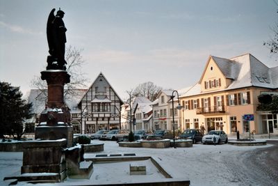
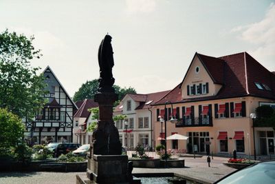
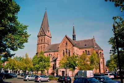
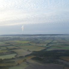
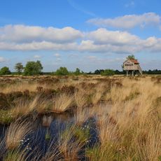
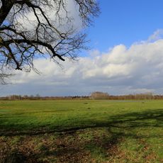
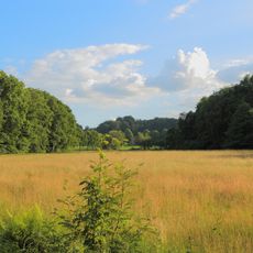
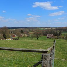
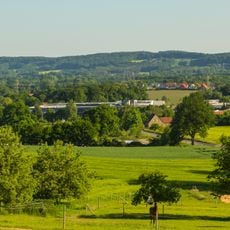
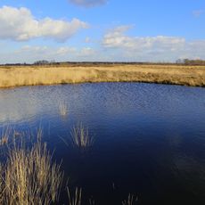
Mettingen is a municipality in Steinfurt district that spreads across gently rolling terrain in North Rhine-Westphalia. The settlement divides into several smaller districts connected by farmland and meadows, giving the area a scattered, rural character.
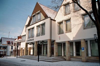
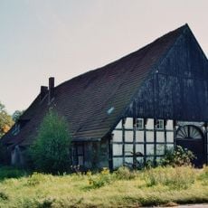
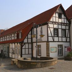
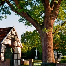
The settlement grew from scattered farming communities and was formally organized as a rural municipality in 1813 before being restructured into its present form in 1975. This change reflected the shift from purely agricultural organization to modern municipal administration.
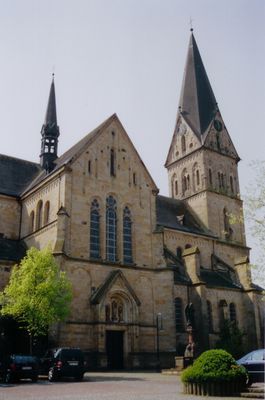
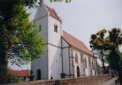
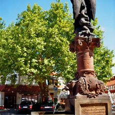
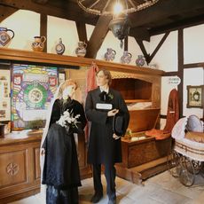
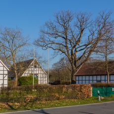
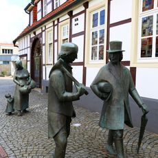
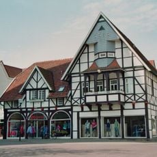
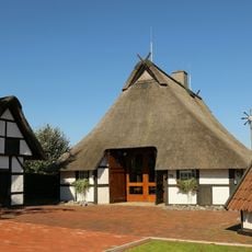
The place carries traditions of craftsmanship that remain visible in small workshops and family businesses throughout the community. This heritage shapes how residents connect with their surroundings and how the town maintains its character.
The municipality is easily accessible by car from nearby larger towns, with the nearest international airport around 21 kilometers away. Walking between the different districts is practical if you follow the established paths through the open countryside connecting each area.
The municipality is known among walkers for its well-developed paths connecting the separate village cores through open countryside and linking historic settlement points. These routes offer visitors a way to experience how each district developed independently while remaining part of the same wider community.
The community of curious travelers
AroundUs brings together thousands of curated places, local tips, and hidden gems, enriched daily by 60,000 contributors worldwide.