
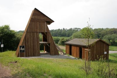
Mine Hermann, former coal mine in Witten
Location: Witten
Inception: 1882
GPS coordinates: 51.42230,7.31820
Latest update: March 5, 2025 07:05
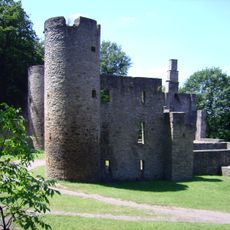
Hardenstein Castle
1.2 km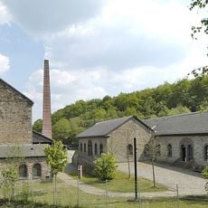
Mine Nachtigall
810 m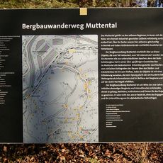
Mining hiking trail Muttental
720 m
Castle Steinhausen
781 m
LWL Industry Museum Mine Nachtigall
807 m
Lock of Herbede
1.3 km
St.-Johannes-Erbstollen
1.2 km
Muttentalbahn
595 m
Bethaus der Bergleute
145 m
Deutsches Gruben- und Feldbahnmuseum
825 m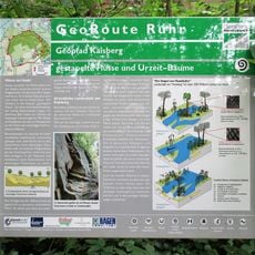
Ruhrgebiet Geopark
799 m
Verbund-Wasserwerk Witten
1.3 km
Steinbruch Dünkelberg
630 m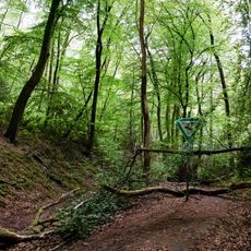
Hardenstein
1.2 km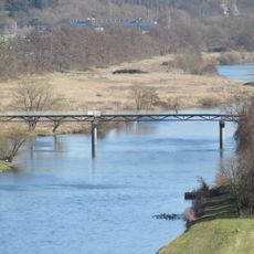
Nachtigallbrücke
1.1 km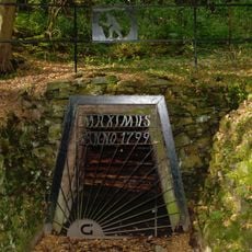
Mine Maximus
475 m
Steinhausen
778 m
Schleusenwärterhaus
1.3 km
Mine Theresia
869 m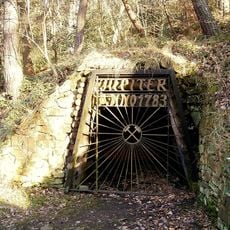
Mine Fortuna
956 m
Mine Herberholz
68 m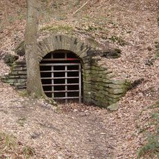
Zeche Vereinigte Reiger
1.1 km
Franziska Erbstollen
1.4 km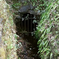
Vereinigungsstollen
1 km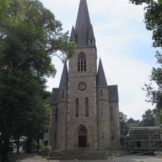
Evangelische Kirche
1.4 km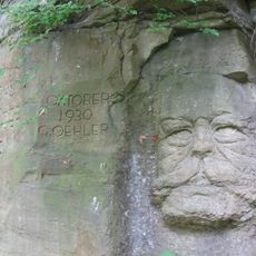
Hindenburgkopf
940 m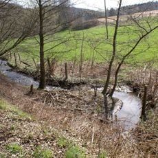
Landschaftsschutzgebiet Vormholz-Waldungen/Muttental-Waldungen/Muttenbach
1.5 km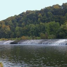
Herbeder Ruhrschlagd
1.3 kmVisited this place? Tap the stars to rate it and share your experience / photos with the community! Try now! You can cancel it anytime.
Discover hidden gems everywhere you go!
From secret cafés to breathtaking viewpoints, skip the crowded tourist spots and find places that match your style. Our app makes it easy with voice search, smart filtering, route optimization, and insider tips from travelers worldwide. Download now for the complete mobile experience.

A unique approach to discovering new places❞
— Le Figaro
All the places worth exploring❞
— France Info
A tailor-made excursion in just a few clicks❞
— 20 Minutes