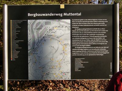
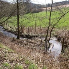
Mining hiking trail Muttental, Mining trail in Witten, Germany.
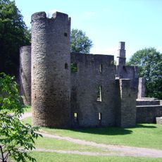
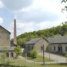
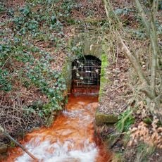
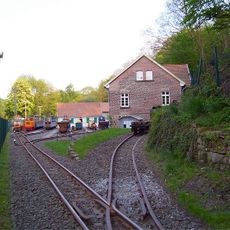
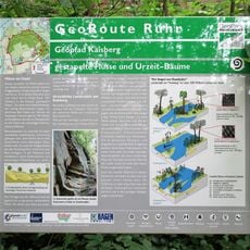
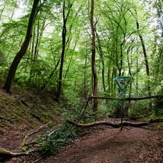
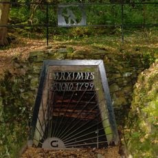
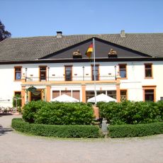
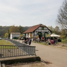
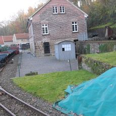
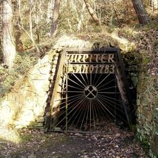
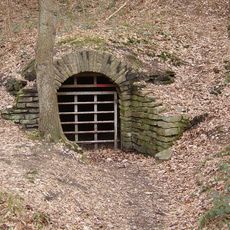
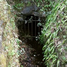
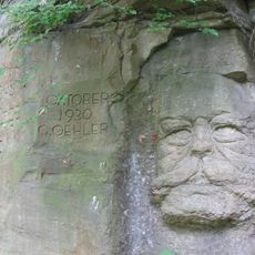
The Mining Trail Muttental is a path through landscapes shaped by historical coal extraction, featuring well-known shafts such as Margarethe, Jupiter, and Moses. The route winds through varied terrain with interpretive panels and historical mining structures that reveal details about how people once worked underground.
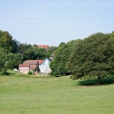
Mining shafts in the Muttental region began operating in the 16th century and brought wealth to Witten for centuries. These operations transformed the landscape and became the foundation of the city's industrial development.
The trail takes its name from Muttental, a valley shaped by generations of mining workers. Along the way, visitors encounter remnants of shaft installations that show how mining was woven into the daily life of the community.
The trail begins at the Margarethe Shaft parking area and suits visitors with medium fitness levels due to its rolling elevation changes. Wear sturdy footwear and allow time to stop at informational stations along the way.
Visitors can engage in a detective-themed puzzle activity along the trail, solving clues and uncovering encrypted messages as they explore. This interactive element adds a game-like dimension to learning about the region's mining past.
The community of curious travelers
AroundUs brings together thousands of curated places, local tips, and hidden gems, enriched daily by 60,000 contributors worldwide.