Bad Heilbrunn, municipality of Germany
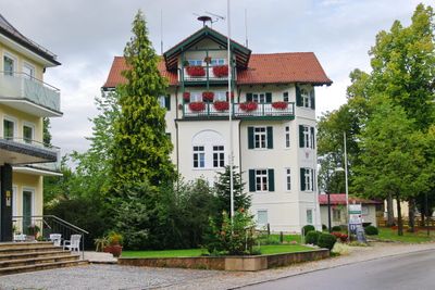
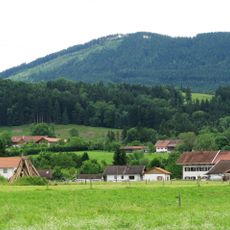
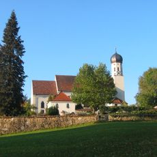
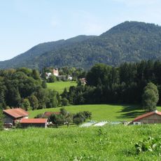
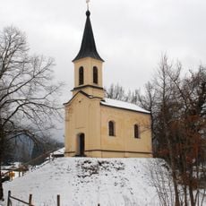
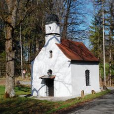
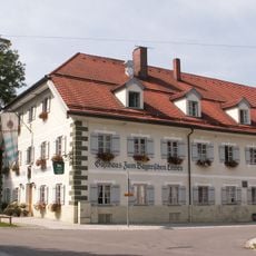
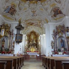
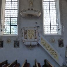
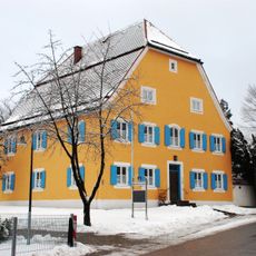
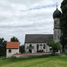
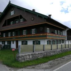
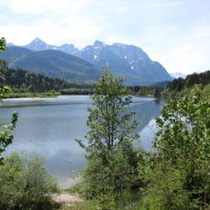
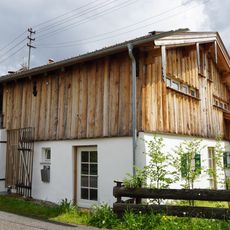
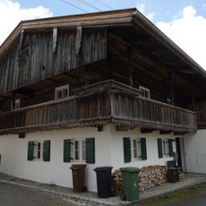
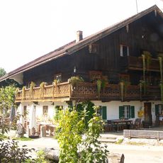
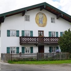
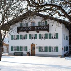
Bad Heilbrunn is a designated spa town in the Bad Tölz-Wolfratshausen district of Bavaria, situated on a hill at around 680 meters (2,230 feet) above sea level. It is made up of several small hamlets gathered around a historic church, with mineral springs, walking paths, and a botanical garden spread across the surrounding area.
The town's origins trace back to 1159, when monks discovered a salt spring thought to have healing properties, drawing visitors from across the region. Official recognition as a health resort came only in the early 20th century, after centuries of attracting nobles and those seeking relief from illness.
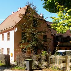
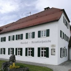
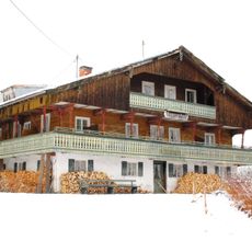
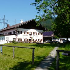
The town's name comes from its healing springs, and visitors today can still feel the slow, restorative pace that has shaped life here for generations. The streets are lined with small guesthouses and herbal shops that reflect a long local tradition of wellness and nature-based living.
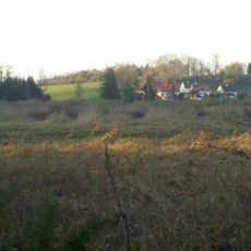
The town can be reached by train to Penzberg or Bad Tölz, then by bus into the village. Comfortable walking shoes are useful, as the hamlets are spread across hilly ground and some paths rise noticeably.
Since 2009, a herb experience garden in the village has cultivated dozens of medicinal and culinary plants, with signs explaining their traditional uses. Small nearby shops sell products made from these same plants, creating a short and direct connection between garden and shelf.
The community of curious travelers
AroundUs brings together thousands of curated places, local tips, and hidden gems, enriched daily by 60,000 contributors worldwide.