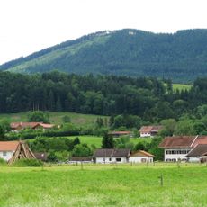
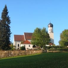
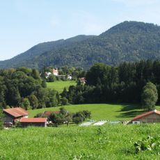
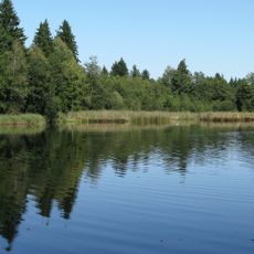
Zwiesel, Mountain summit near Bad Tölz, Bavaria, Germany
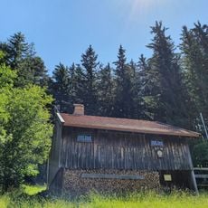
The Zwiesel, also called Zwieselberg, is a 1348 m summit in the Bavarian Pre-Alps near Bad Tölz, next to the Blomberg. Below the top, at 1245 m, lies the Zwieselalm, also known as Schnaiteralm or in dialect "Schnoaderalm". The summit is reached as an easy mountain hike with 620 m of ascent from the Waldherralm car park in Wackersberg.
The Zwiesel is a 1348 m summit in the Bavarian Pre-Alps near Bad Tölz, beside the Blomberg. The sources record no founding event or dated history for the peak itself; what is documented is its use, with the summit reached by a 620 m ascent from the Waldherralm car park in Wackersberg. Below the top, at 1245 m, lies the Zwieselalm, also called Schnaiteralm or, in dialect, "Schnoaderalm".
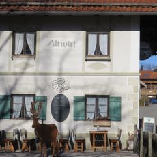
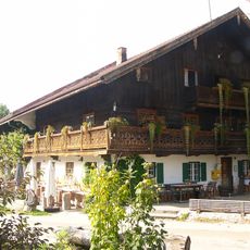
The alpine pasture just below the summit, the Zwieselalm at 1245 m, is also called Schnaiteralm and, in local dialect, "Schnoaderalm". Its name survives in everyday speech, so hikers on the Waldherralm route pass a working pasture whose dialect form differs from the map. The 620 m ascent from the Waldherralm car park in Wackersberg is the usual way up.
The hike to the summit typically takes about three hours and parking areas in nearby towns serve as starting points. Weather at higher elevations can change quickly, so proper gear and caution are important.
Just below the summit, at 1,245 m, lies the Zwieselalm, also called Schnaiteralm or in dialect "Schnoaderalm". The summit itself is reached by a simple mountain hike with 620 m of ascent from the Waldherralm car park in Wackersberg. From the top the view takes in the Benediktenwand, the Karwendel, the Rofanspitze and the Kitzsteinhorn.
The community of curious travelers
AroundUs brings together thousands of curated places, local tips, and hidden gems, enriched daily by 92,698 contributors worldwide.