Heiglkopf, Mountain summit in Upper Bavaria, Germany
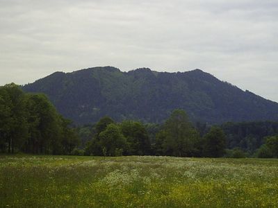
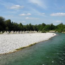
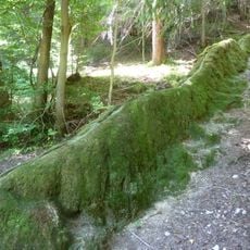
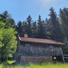
Heiglkopf is a mountain summit in the Bavarian Alps reaching 1,205 meters and offering views across the Isar valley toward Lenggries and neighboring peaks. The terrain combines meadows, forests, and open ridges connected through a continuous mountain range.
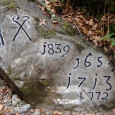
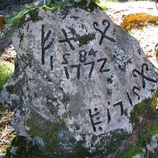
The peak was renamed in 1933 and received a large illuminated iron symbol at its summit, but returned to its original name after 1945. This change reflects the political upheaval that swept across the region during that era.
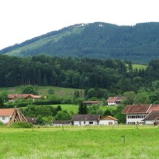
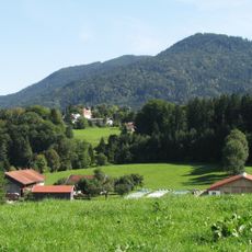
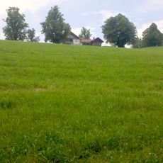
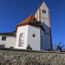
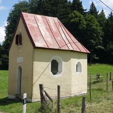
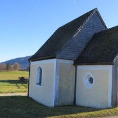
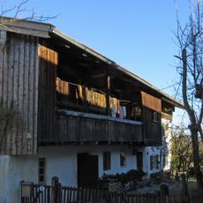
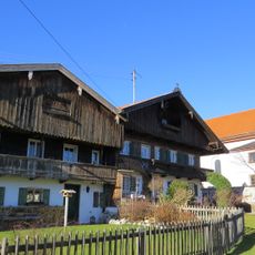
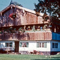
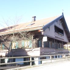
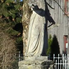
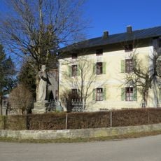
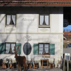
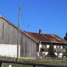
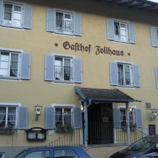
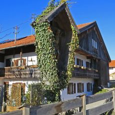
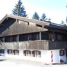
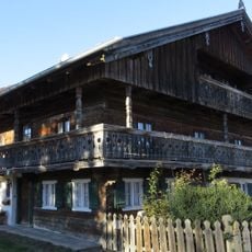
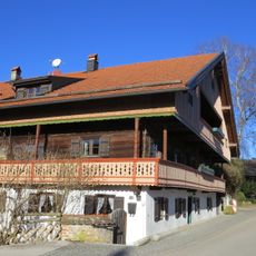
The trails pass traditional farmhouses and alpine pastures where visitors encounter the mountain way of life directly. Local architecture and daily practices show how mountain communities have adapted their routines to steep terrain and seasonal changes.
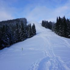
Several hiking routes lead to the summit, including a shorter trail of around 4 kilometers from Wackersberg and a longer route of about 12 kilometers from the Blomberg parking area. The paths are marked and the terrain requires sturdy hiking boots and basic fitness.
From the summit, hikers can easily reach neighboring peaks like Jochberg, Hirschberg, and Demeljoch through connected trails. These links make it a practical starting point for multi-peak tours through the alpine network.
The community of curious travelers
AroundUs brings together thousands of curated places, local tips, and hidden gems, enriched daily by 60,000 contributors worldwide.