Kissing, municipality of Germany
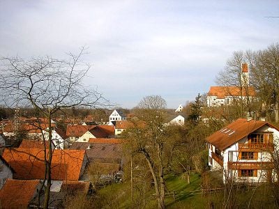
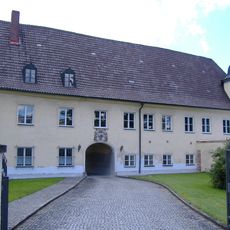
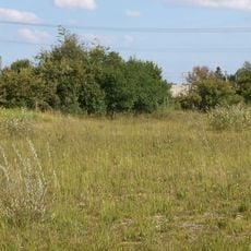
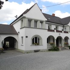
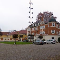
Kissing is a small municipality in Bavaria, Germany, located in the Aichach-Friedberg district about 30 miles southwest of Munich. The town spans roughly 23 square kilometers with around 11,000 residents living in traditional houses and small residential buildings, while tree-lined streets and open fields surround the area.
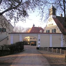
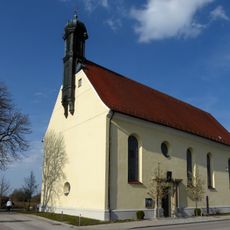
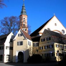
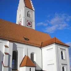
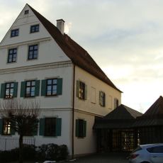
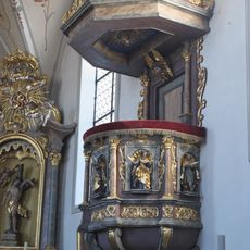
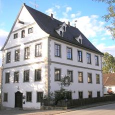
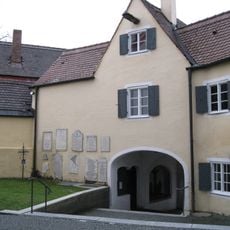
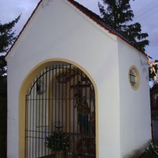
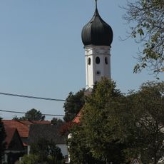
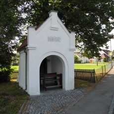
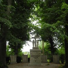
Kissing dates back to the medieval period and was for centuries a farming village whose economy relied on agriculture and small trades. The Church of Saint Moritz and other historic buildings from that era show the town's long connection to local traditions and customs.
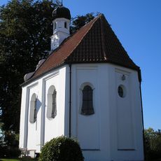
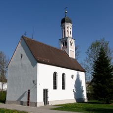
The name Kissing comes from local history and has no connection to the English word. Walking through, you see traditional Bavarian houses with tiled roofs and flower-decorated windows, where daily life moves at a relaxed pace and neighbors greet each other on the streets.
The town is easily accessible by train from Augsburg and Munich, and offers basic shops and cafes for daily needs. The surrounding farm roads and forest paths are good for walking and cycling, especially during good weather.
A curiosity is the name itself, which brings a smile to many visitors' faces, even though it comes from local history and has nothing to do with the English word. What is more, despite its closeness to large cities like Munich, the town receives few tourists and thus retains its authentic, unspoiled character.
The community of curious travelers
AroundUs brings together thousands of curated places, local tips, and hidden gems, enriched daily by 60,000 contributors worldwide.