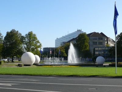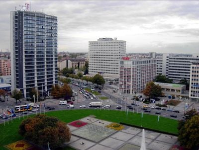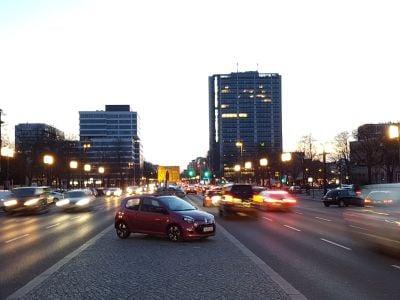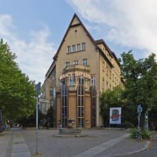
Ernst-Reuter-Platz, traffic square in Charlottenburg, Berlin, Germany
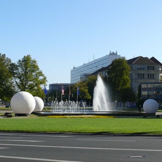
Ernst-Reuter-Platz is a central intersection in Berlin's Charlottenburg district where major roads converge, including Straße des 17 Juni, Marchstraße, and Otto-Suhr-Allee. The square is surrounded by modern high-rises, including the protected TELEFUNKEN building from 1960, which stands as an architectural landmark.
The bend in the road from Berlin to Charlottenburg was called Umschweif, then Am Knie from 1831. In 1865 Germany's first horse-drawn tram ran through it, and in 1902 the Knie U-Bahn station opened. After wartime destruction, the junction was rebuilt as a roundabout; it was renamed Ernst-Reuter-Platz on 3 October 1953, four days after the mayor's death.
The square was named on 3 October 1953, four days after the death of Ernst Reuter, governing mayor of West Berlin from 1948 to 1953. Before that it was known as Am Knie, after the bend where the road to Charlottenburg turned northwest. The name change came with the renaming of the eastern approach as Straße des 17. Juni on 22 June 1953.
The square has a U-Bahn station served by line U2, which has been operating since 1902 and connects well to the rest of the transit network. The area is easily walkable and offers multiple access points for visitors arriving from different directions.
The square's layout of a traffic island ringed by loosely grouped single buildings, rather than a closed square wall, comes from an idea by Ludwig Mies van der Rohe, meant to convey lightness. The Hertzallee once crossed here; its section through the TU grounds was closed and the gap sealed by Willy Kreuer's mining and metallurgy institute, built 1955–1959 as the square's first new building.
The community of curious travelers
AroundUs brings together thousands of curated places, local tips, and hidden gems, enriched daily by 94,357 contributors worldwide.