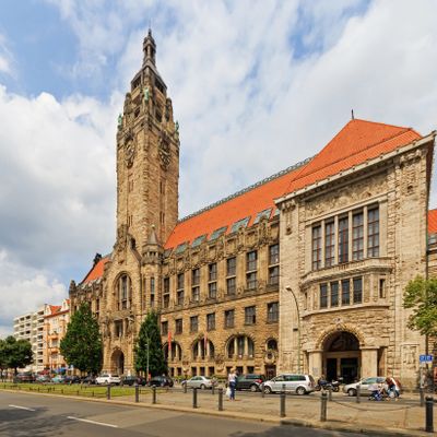
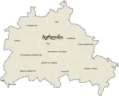
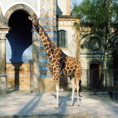
Charlottenburg-Wilmersdorf, Administrative district in western Berlin, Germany.
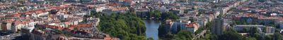
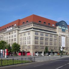
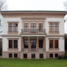
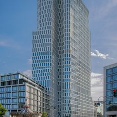
Charlottenburg-Wilmersdorf is an administrative district in western Berlin that combines residential neighborhoods with wide avenues, historic buildings, and shopping streets. The district stretches from Kurfürstendamm in the center to the woodland area of Grunewald in the southwest, where villa-style houses stand among old trees.
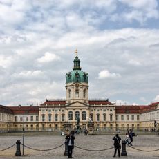
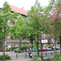
The district formed in 2001 through the merger of two independent administrative units that were governed separately until the city reform. Charlottenburg developed from the 18th century around the royal palace, while Wilmersdorf grew as a middle-class residential area in the 19th century.
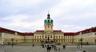
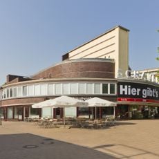
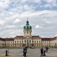
Schloss Charlottenburg with its baroque gardens draws visitors who walk through royal rooms and collections. In the side streets around Savignyplatz, people sit in small cafés and bookshops that offer a quiet alternative to the busy Kurfürstendamm.
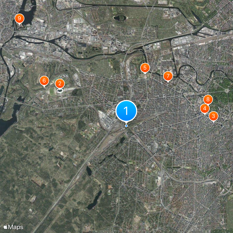
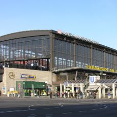
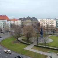
U-Bahn, S-Bahn, and bus lines cross the entire area and connect residential streets with central points like Bahnhof Zoo. Pedestrians find smaller paths between the main streets that lead through parks and quieter sections.
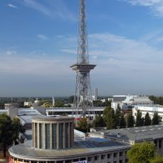
In the Westend locality lie the fairgrounds and radio tower site, where the Berliner Funkturm has stood since the 1920s. Visitors can ride up to the observation platform and look over the surrounding rooftops, while the structure is still used for broadcasting.
The community of curious travelers
AroundUs brings together thousands of curated places, local tips, and hidden gems, enriched daily by 60,000 contributors worldwide.