Schmargendorf, Residential district in Charlottenburg-Wilmersdorf, Berlin, Germany.
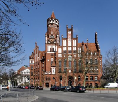
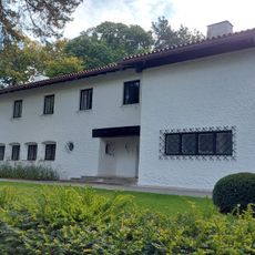
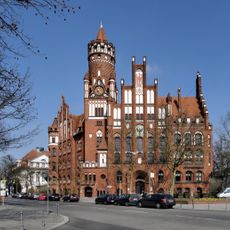
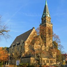
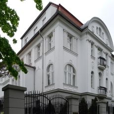
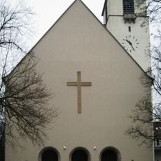
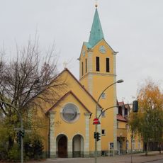
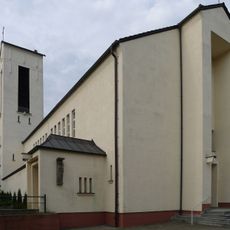
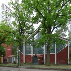
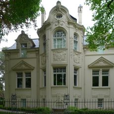
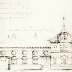
Schmargendorf is a residential district in Charlottenburg-Wilmersdorf with tree-lined streets, small parks, and a mix of traditional German houses alongside modern residential buildings. The area features both historic period buildings from the early 1900s and contemporary architecture that reflects different eras of development.
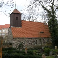
The district originated around 1220 as a German settlement during the eastward expansion period and gained municipal status in 1899. It became part of Greater Berlin in 1920 and developed into a significant residential area in the western part of the city.
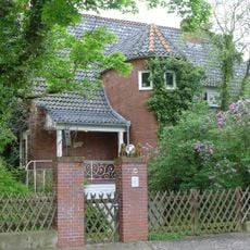
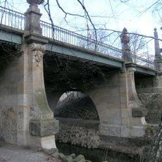
The neighborhood's name derives from a medieval settlement called Margaretendorf, and it still retains the character of a residential area with village roots. The quiet tree-lined streets and mix of older houses alongside newer residential buildings shape the daily experience for those who live and spend time here.
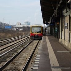
The district connects to Berlin's public transportation network through the Ringbahn stations at Heidelberger Platz and Hohenzollerndamm, making it easy to reach other parts of the city. The quiet streets are ideal for walking and exploring local shops and cafés at a relaxed pace.
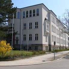
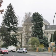
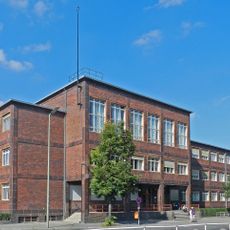
The area was once home to poet Rainer Maria Rilke, who lived here from 1898 to 1900 and found inspiration in the quiet surroundings. The Berlinisches Gymnasium zum Grauen Kloster, founded in 1954, reflects the district's development as an educational and residential hub.
The community of curious travelers
AroundUs brings together thousands of curated places, local tips, and hidden gems, enriched daily by 60,000 contributors worldwide.