Barnacken, Mountain summit in Teutoburg Forest, Germany
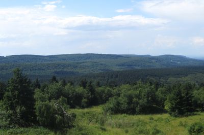
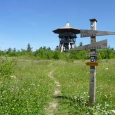
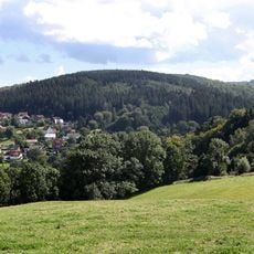
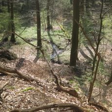
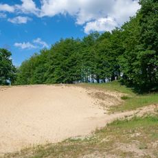
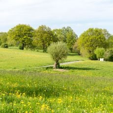
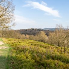
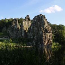
Barnacken is a summit in the Teutoburg Forest, in North Rhine-Westphalia, Germany, rising to 1,463 feet (446 meters) as the highest point of this ridge. The top sits within dense woodland, with open patches that allow views over the surrounding hills.
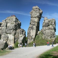
The Teutoburg Forest is known for a battle fought in 9 AD, when Germanic warriors defeated three Roman legions in the area. That event shaped how this whole region was remembered and named for centuries afterward.
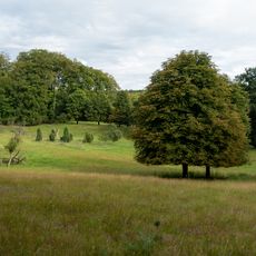
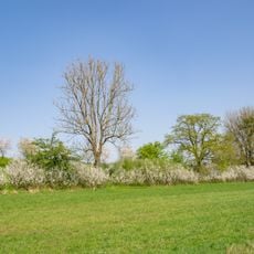
The summit attracts hikers and nature enthusiasts from surrounding areas who gather here to enjoy views across the landscape. It serves as a destination for people seeking to experience the forest and its natural surroundings firsthand.
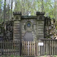
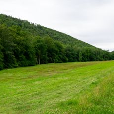
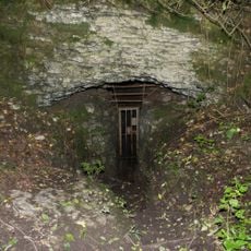
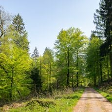
The summit is reached by several marked hiking trails that start from different points around the area. A shelter near the top works well as a reference point and a place to stop before or after reaching the highest point.
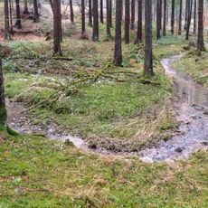
Barnacken sits on a water divide, meaning that rain falling on one side of the summit flows toward a completely different river system than rain falling on the other side. This makes the top a natural boundary that is invisible to the eye but very real in terms of how water moves across the land.
The community of curious travelers
AroundUs brings together thousands of curated places, local tips, and hidden gems, enriched daily by 60,000 contributors worldwide.