Kerken, municipality in Kleve District, in North Rhine-Westphalia, Germany
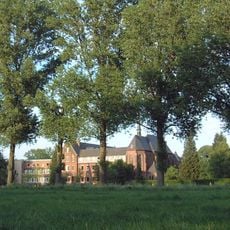
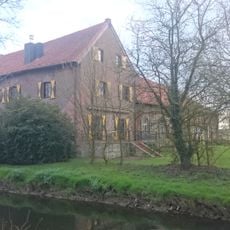
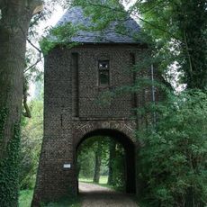
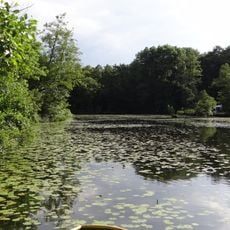
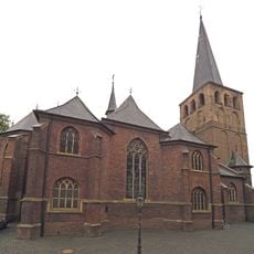
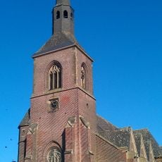
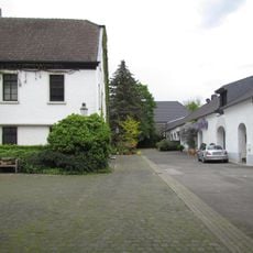
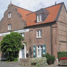
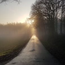
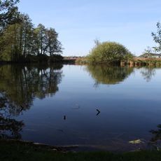
Kerken is a small municipality in North Rhine-Westphalia comprising several villages including Aldekerk, Nieukerk, Eyll, and Stenden. The area features open farmland, traditional houses spread along quiet roads, and three historic churches serving as focal points in their respective villages.
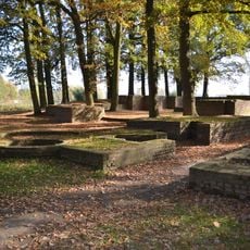
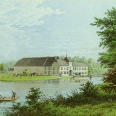
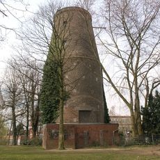
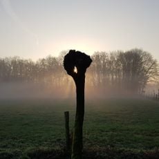
Kerken has been primarily a farming area for many centuries, with its development centered around local churches and agricultural settlements. The community experienced damage from wars and fires over time, but residents rebuilt structures repeatedly, demonstrating strong commitment to continuity.
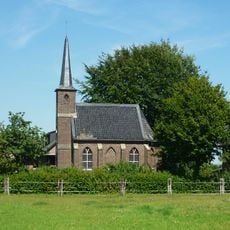
The name Kerken refers to the area's deep connection to local churches, which remain central to community life today. Village celebrations like carnival bring residents together in streets decorated with music and colorful floats, keeping traditional customs alive.
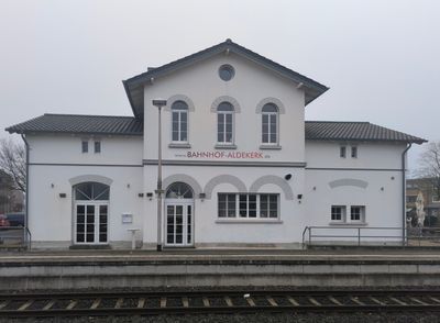
Kerken sits about 10 kilometers (6 miles) from the A40 highway and is easily accessible via the B9 federal road. The community has train stations in Aldekerk and Nieukerk that connect to Düsseldorf in under one hour, making visits straightforward for travelers.
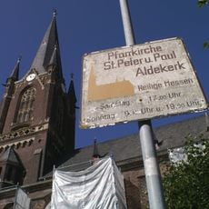
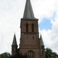
The church in Nieukerk dates back around the year 800 and its tall tower has survived numerous storms and repairs over the centuries. This ancient structure tells the story of the community's resilience through visible signs of its long passage of time.
The community of curious travelers
AroundUs brings together thousands of curated places, local tips, and hidden gems, enriched daily by 60,000 contributors worldwide.