Kevelaer, Religious pilgrimage destination in Kleve district, Germany
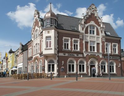
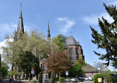
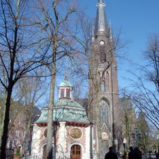
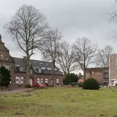
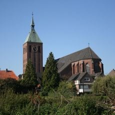
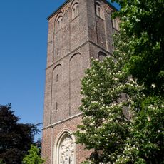
Kevelaer is a pilgrimage town in the Kleve district of North Rhine-Westphalia that connects several village communities and is crossed by agricultural land. The center consists of narrow lanes with historical buildings and several religious structures that shape the townscape.
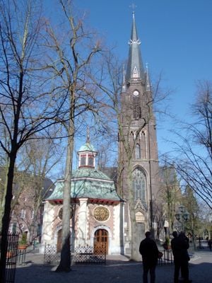
The settlement arose after 1641 when a small chapel was built in a field and quickly grew into a pilgrimage destination. Over the following centuries religious buildings and pilgrim accommodations expanded the townscape and transformed the fields into a town.
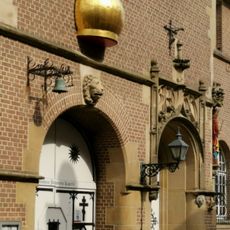
The name comes from old field designations in the region and today marks a community with deep-rooted devotional practice. Visitors experience religious festivals and processions where believers from across Europe gather together.
Several routes lead through the settlement and connect the religious buildings with rest areas and parks accessible for pedestrians and cyclists. Outside the religious center lie neighborhoods with shops and eateries that cover daily needs.
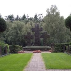
The original devotional site was built in just a few months and attracted pilgrims from distant regions within one year. Today the chapel preserves the original print in a special shrine surrounded by a metal grille wall.
The community of curious travelers
AroundUs brings together thousands of curated places, local tips, and hidden gems, enriched daily by 60,000 contributors worldwide.