Altefähr, Non-urban municipality in Vorpommern-Rügen, Germany
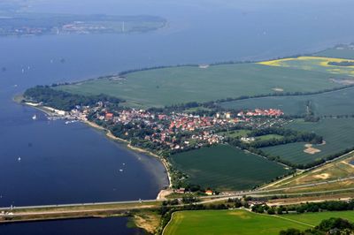
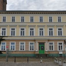
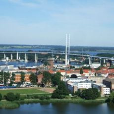
Altefähr is a small municipality on the island of Rügen in Vorpommern-Rügen district, situated on the shore across from Stralsund. The settlement has approximately 1200 residents and is administered by the West-Rügen office, covering around 21 square kilometers.
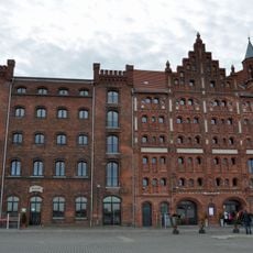
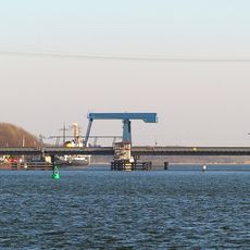
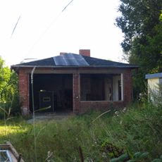
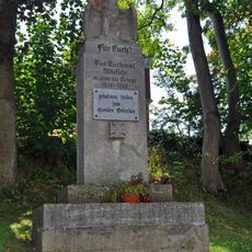
Altefähr was first mentioned in writing in 1240 and served for over 800 years as an important ferry port connecting the island of Rügen to the mainland. When the railway-ferry connection opened in 1909, the settlement became part of a fast train route between Berlin and Stockholm, strengthening its importance for trade and travel.
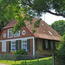
The name Altefähr recalls the old ferry that once transported people and goods across the water, shaping the community's identity for centuries. Today visitors can sense this heritage in how the settlement relates to the waterfront and how local life remains tied to the sea.
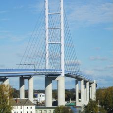
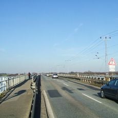
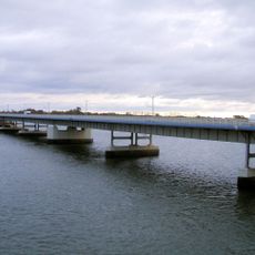
The settlement is easily accessible from the mainland via the Rügen Bridge and lies just a short distance from Stralsund, making it a practical base for excursions. There is a wheelchair-accessible beach with a swimming ramp, a children's playground, and a forest rope park for climbing activities, making it particularly suitable for family visits.
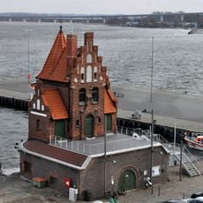
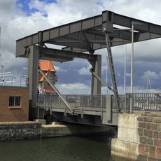
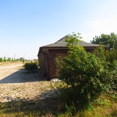
In the harbor sits the old sailing ship Erna, built in Holland in 1904 and now a silent monument to the era when vessels regularly conducted trade here. The restored harbor offers a remarkable view into the maritime history of the place.
The community of curious travelers
AroundUs brings together thousands of curated places, local tips, and hidden gems, enriched daily by 60,000 contributors worldwide.