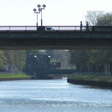
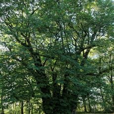
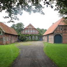
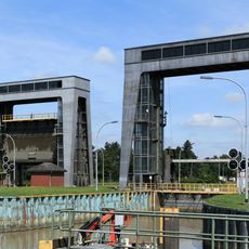
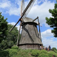
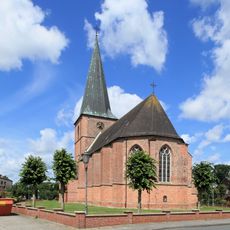
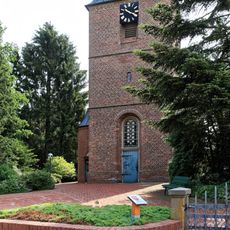
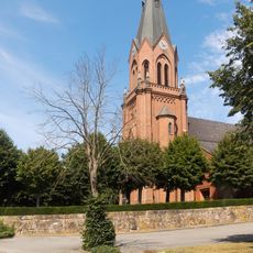
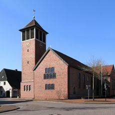
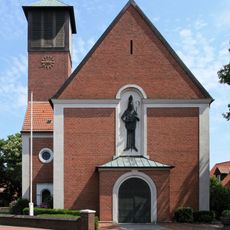
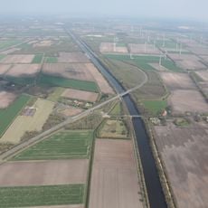
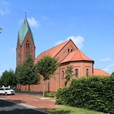
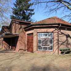
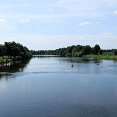
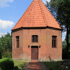
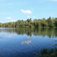
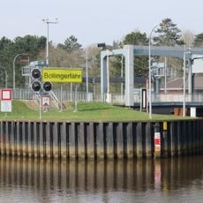
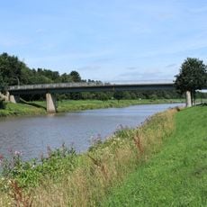
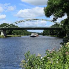
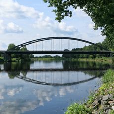
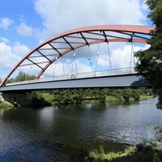
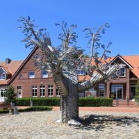
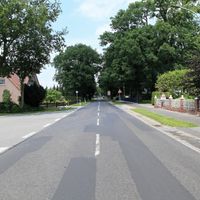
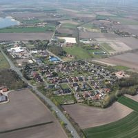
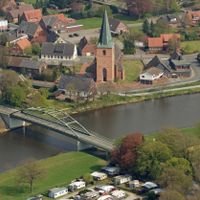
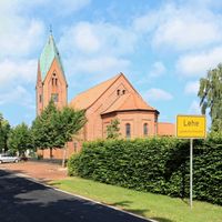
Dörpen, Samtgemeinde in Lower Saxony
Location: Emsland
Website: http://doerpen.de
GPS coordinates: 52.95000,7.31667
Latest update: March 6, 2025 12:15
Küsten Canal
1.5 km
Riesenlinde zu Heede
5 km
Gut Campe
3.5 km
Herbrum lock
9.8 km
Windmühle Wippingen
6.7 km
Sankt-Georg-Kirche (Steinbild)
3 km
St. Petrus in Ketten
4.6 km
Amtshaus Nienhaus
9.7 km
St. Vitus
9.8 km
St. Vitus
1.8 km
Neuheeder Moor
8.3 km
Jüdischer Friedhof Lathen
9.3 km
Stillgewässer bei Kluse
4.7 km
St. Nikolaus
4.9 km
Höveltangesche Mörte
8.2 km
Herz-Jesu-Kirche
6.1 km
Marienkirche
4.7 km
Friedhofskapelle Dörpen
1.9 km
Emstal von Lathen bis Papenburg
7.4 km
Kapelle Fresenburg
7.4 km
Stillgewässer bei Kluse
6 km
Plaquette voor Ella en Mozes Braaf
10 km
Bollingerfähr Schleusen-Brücke Nr. 189
3.9 km
Herbrumer-Brücke Nr. 190
9 km
Steinbilder Ems-Brücke Nr. 187
3 km
Bollingerfähr Ems-Brücke Nr. 188
3.5 km
De Linie, voorwerk vesting
9.4 km
Vitus-Brücke Nr. 182
9.3 kmVisited this place? Tap the stars to rate it and share your experience / photos with the community! Try now! You can cancel it anytime.
Discover hidden gems everywhere you go!
From secret cafés to breathtaking viewpoints, skip the crowded tourist spots and find places that match your style. Our app makes it easy with voice search, smart filtering, route optimization, and insider tips from travelers worldwide. Download now for the complete mobile experience.
A unique approach to discovering new places❞
— Le Figaro
All the places worth exploring❞
— France Info
A tailor-made excursion in just a few clicks❞
— 20 Minutes