
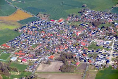
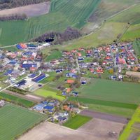
Ahlerstedt, municipality of Germany
Location: Harsefeld
Location: Stade
Elevation above the sea: 37 m
Website: http://ahlerstedt.de
GPS coordinates: 53.40694,9.45278
Latest update: March 2, 2025 22:40

Richtstätte bei Ohrensen
7.7 km
Kloster Harsefeld
6.2 km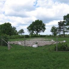
Burg im Dannsee
7.7 km
Rittergut Wiegersen
6.9 km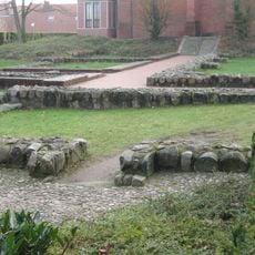
Burg Harsefeld
6.1 km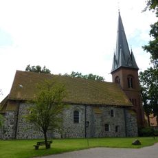
St. Vitus
12.6 km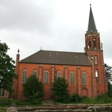
St. Marien und Bartholomäi
6.1 km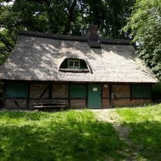
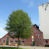
Walkmühle Ohrensen
5.8 km
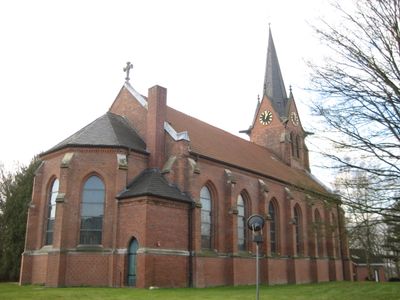
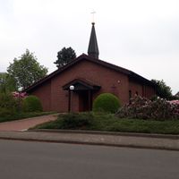
Kirche Ahlerstedt
73 m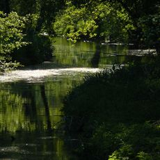
Aueniederung und Nebentäler
10.7 km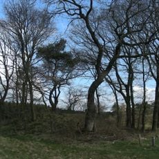
Hünenbetten von Daudieck
10.8 km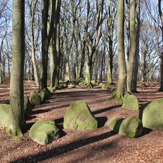
Megalithanlagen von Grundoldendorf
11.4 km
Kirche Apensen
11.1 km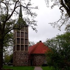
St. Primus
5.9 km
Braken, Harselah, Kahles und Wildes Moor
3.2 km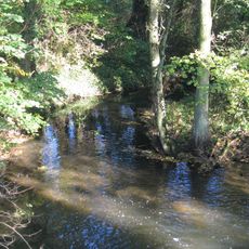
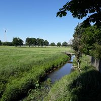
Staersbach
13.3 km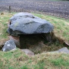
Steinkammer von Deinste
11.7 km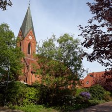
Kirche Farven
9.1 km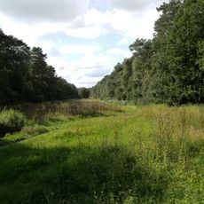
Kahles und Wildes Moor
4.9 km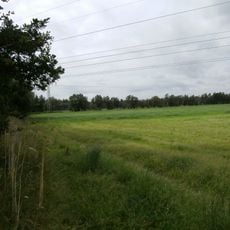
Moor bei Revenahe
7.1 km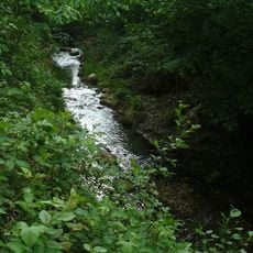
Fredenbecker Mühlenbach
13 km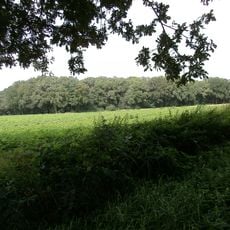
Im Tadel
6.1 km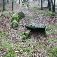
Großsteingrab Kakerbeck
4.1 km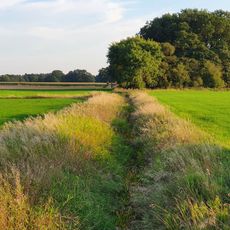
Hollinder Bach
12.2 km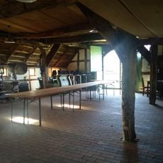
Bäuerliches Hauswesen Bliedersdorf Museumsgelände
11.3 km
Auetal und Nebentäler
7.6 km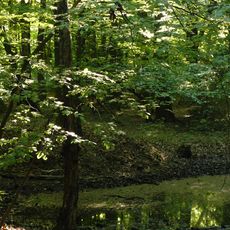
Braken
2.3 km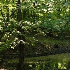
Braken
3.2 kmVisited this place? Tap the stars to rate it and share your experience / photos with the community! Try now! You can cancel it anytime.


Discover hidden gems everywhere you go!
From secret cafés to breathtaking viewpoints, skip the crowded tourist spots and find places that match your style. Our app makes it easy with voice search, smart filtering, route optimization, and insider tips from travelers worldwide. Download now for the complete mobile experience.

A unique approach to discovering new places❞
— Le Figaro
All the places worth exploring❞
— France Info
A tailor-made excursion in just a few clicks❞
— 20 Minutes