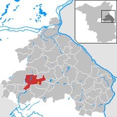
Strausberg, Town center and administrative hub in Märkisch-Oderland District, Germany
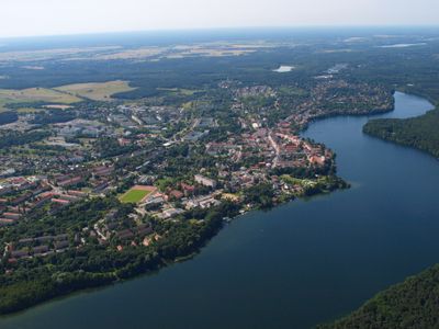
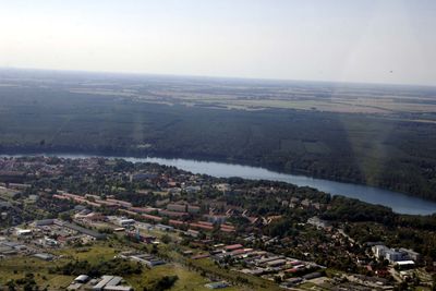
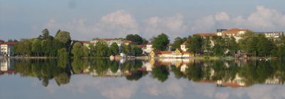
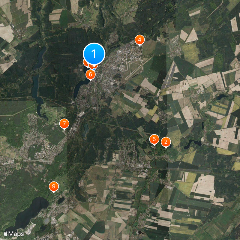
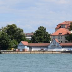
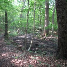
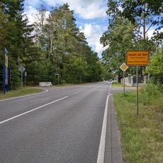
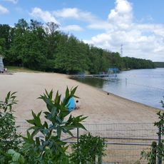
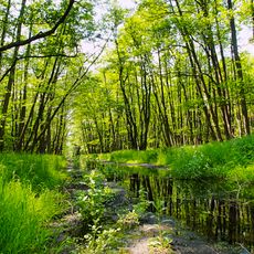
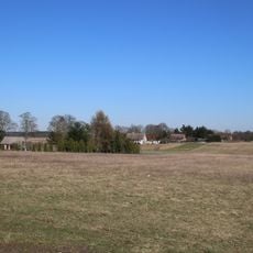
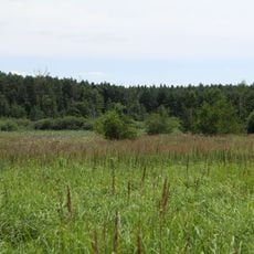
Strausberg is a regional center in Brandenburg's Märkisch-Oderland district, covering 68 square kilometers and comprising nine distinct neighborhoods. The town sits around Lake Straussee at an elevation of 94 meters, with an extensive network of footpaths and green spaces framing the water.
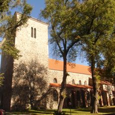
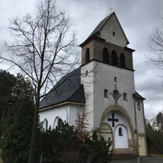
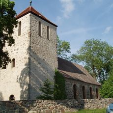
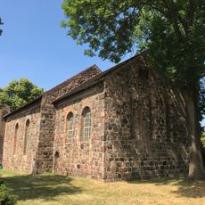
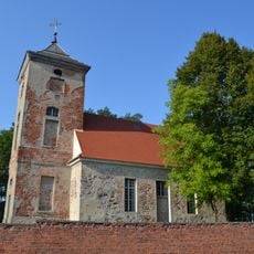
Founded in 1240, the settlement evolved from a medieval town into an industrial hub over the centuries. After 1945, it became the seat of East Germany's Ministry of National Defense, shaping the region's direction for decades.
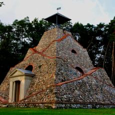
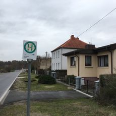
Medieval fortifications outline the old town boundaries and recall its defended origins, while the nine distinct neighborhoods each display their own architectural character. Visitors can walk through streets lined with turn-of-the-century buildings and newer residential areas, tracing the development of individual quarters over time.
The main railway station sits roughly 6 kilometers (4 miles) south of the town center and connects directly to Berlin's S-Bahn Line 5, providing a straightforward route to the capital. Visitors can explore the lakeside path network on foot or using local transport, with most routes flat and easy to navigate.
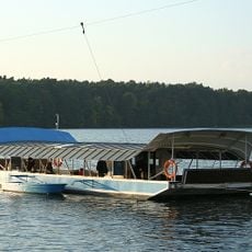
An electric passenger ferry crosses Lake Straussee, linking both shores and operating as part of the public transport system. This ferry service works in tandem with the Strausberger Eisenbahn, a local narrow-gauge railway that connects different parts of the town.
The community of curious travelers
AroundUs brings together thousands of curated places, local tips, and hidden gems, enriched daily by 60,000 contributors worldwide.