Westphalian Lowland, Geographic lowland in North Rhine-Westphalia, Germany
The Westphalian Lowland stretches across flat terrain between the Rhine and Weser rivers with numerous streams and farmland throughout. The landscape is shaped by gentle hills and open fields that spread across wide areas.
This landscape formed during the Cretaceous period as a coastal basin, leaving behind rich geological deposits. Later, settlements developed along trade routes that shaped the region for centuries.
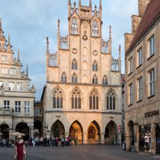
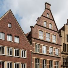
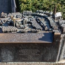
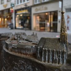
The northern part shows medieval towns positioned along historic trade routes, where you can still recognize old street layouts and settlement patterns from centuries ago.
Many cycling paths link the main cities in the region, making it easy for visitors to explore different landscapes. The flat terrain makes cycling the best way to get around the area.
Giant ammonite fossils found during construction in Dortmund show the ancient marine history of this flat region. These discoveries remind visitors that an ancient sea once covered this area.
The community of curious travelers
AroundUs brings together thousands of curated places, local tips, and hidden gems, enriched daily by 60,000 contributors worldwide.