Enable Location

We need your location to show you interesting places around you

Discover nearby places

Find interesting locations and hidden gems around you

Precise directions

Get accurate directions and distances to places

Your location is never shared with other users. It's only used when you tap the location button.

Ruhla

Log in to your account

Start exploring — it's free

Trusted by 62,973 travelers worldwide

Continue with Google
Continue with Apple
or

We will send you a code to connect

By continuing, you accept our Terms and Conditions and our Privacy Policy

Check your inbox

We've sent a pincode in your inbox. Please enter the code below.

Discussion Reviews 1 Photos
28.5k Popularity

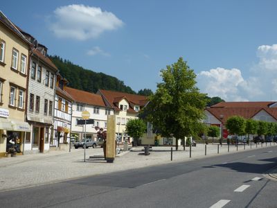
Ruhla, Mining municipality in Wartburgkreis, Germany.

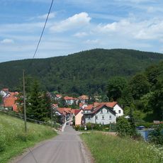
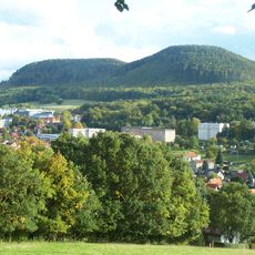
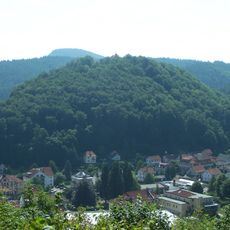
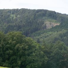
Ruhla is a municipality in Wartburgkreis that spreads across the forests of Thuringia at around 440 meters elevation and includes the districts of Thal and Kittelsthal. The Mini-a-thür park displays 120 miniature scale models of regional buildings and monuments, offering an overview of the area's architectural heritage.

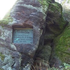
Ruhla developed as a mining community and was divided during the German Empire between the Grand Duchy of Saxe-Weimar-Eisenach and the Duchy of Saxe-Coburg and Gotha. This political division shaped the town's development across generations.

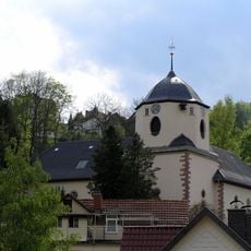
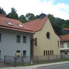
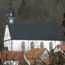
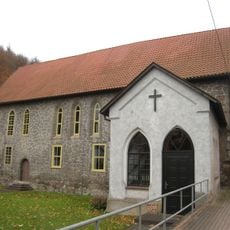
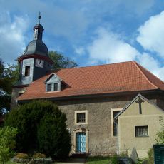
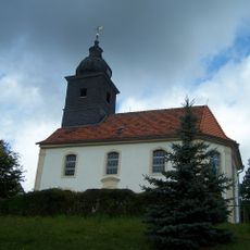
St. Concordia Church from 1660 shapes the town with its distinctive design where two church wings meet at right angles, one of only eight such structures in Germany. This layout once allowed two different religious communities to share a single building.

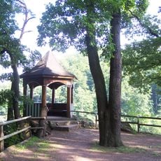
Visitors should plan time for the Mini-a-thür outdoor park to walk through the miniaturized buildings and monuments at a leisurely pace. Spring through fall offers the most comfortable conditions for exploring the outdoor display.

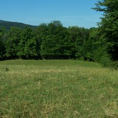
In the 1960s, the town employed a municipal cowherd who gathered cattle at a designated meeting spot each day and then dispersed them back. This organized livestock tradition has completely vanished today and reveals how rural life once operated.

The community of curious travelers

AroundUs brings together thousands of curated places, local tips, and hidden gems, enriched daily by 60,000 contributors worldwide.

Start exploring
Location
Elevation above the sea
440 m
Shares border with
Waltershausen, Bad Liebenstein, Moorgrund, Marksuhl, Wutha-Farnroda, Seebach
Phone
GPS coordinates
50.89194,10.36667
Latest update
December 20, 2025 12:32
Reviews
Share your experience

No review yet

Discussions
Start a discussion...

No discussion yet

« Ruhla - Mining municipality in Wartburgkreis, Germany » is provided by Around Us (aroundus.com). Images and texts are derived from Wikimedia project under a Creative Commons license. You are allowed to copy, distribute, and modify copies of this page, under the conditions set by the license, as long as this note is clearly visible.

Discover hidden gems everywhere you go!

From secret cafés to breathtaking viewpoints, skip the crowded tourist spots and find places that match your style. Our app makes it easy with voice search, smart filtering, route optimization, and insider tips from travelers worldwide. Download now for the complete mobile experience.

Around Us App Screenshot

A unique approach to discovering new places

Le Figaro

All the places worth exploring

France Info

A tailor-made excursion in just a few clicks

20 Minutes

Around Us
Travel Guide & Maps
Download

Send to your phone

QR Code
1

Open the camera app on your mobile.

2

Point at the QR code with your camera. A notification will appear.

3

Tap the notification to open the link.