
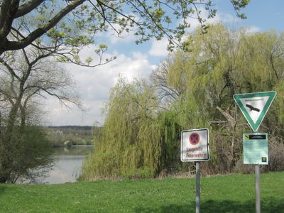
Am Rank, nature reserve in Baden-Württemberg, Germany
Location: Unterensingen
Inception: 1981
GPS coordinates: 48.66570,9.35747
Latest update: March 8, 2025 21:05
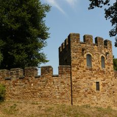
Castrum Grinario
1.3 km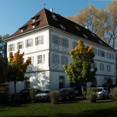
Schloss Köngen
2.2 km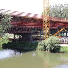
Neckarbrücke Wendlingen
558 m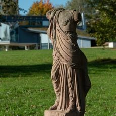
Römisches Museum mit Archäologischem Park Köngen
1.3 km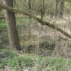
Grienwiesen (Schüle-See)
151 m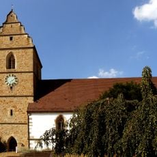
Eusebiuskirche
2.4 km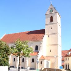
St. Kolumban
1.2 km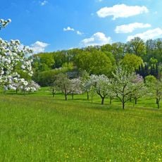
LSG 'Wendlingen am Neckar' (6 Teilgebiete) vom 25.11.1992
2.8 km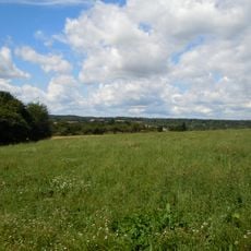
LSG 'Gebiete bei Unterensingen und Zizishausen' (4 Teilgebiete) vom 25.03.1985 geändert am 04.11.1999
1.9 km
Neckarabschnitt
1.6 km
Ulrich Bridge
1.3 km
Friedenslinde
1.9 km
Teich am Tachenhauser Hof
2.5 km
1 Linde
2.5 km
3 Eichen (Eichengruppe)
2.3 km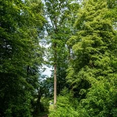
1 Eiche
1.8 km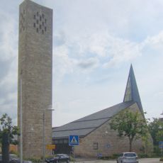
Johanneskirche
1.6 km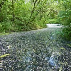
Ehemaliger Neckaraltarm mit Auenwald
2.7 km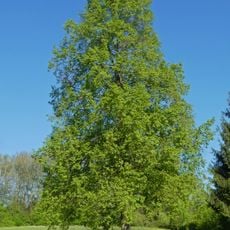
1 Linde (Silcher-Linde)
2 km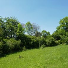
Feldgehölz im Gewann Hartwasen
3 km
1 Linde
2.4 km
1 Linde
1.8 km
2 Linden am Feldhäuschen
2.4 km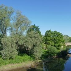
Naturnaher Neckarabschnitt mit Insel (An der Ulrichsbrücke)
1.1 km
5 Ulmen und 2 Platanen
1.3 km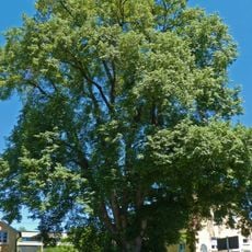
1 Linde
2.1 km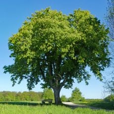
1 Kastanie
2.2 km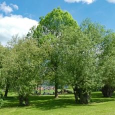
Kopfweiden am Sportgelände
3 kmReviews
Visited this place? Tap the stars to rate it and share your experience / photos with the community! Try now! You can cancel it anytime.
Discover hidden gems everywhere you go!
From secret cafés to breathtaking viewpoints, skip the crowded tourist spots and find places that match your style. Our app makes it easy with voice search, smart filtering, route optimization, and insider tips from travelers worldwide. Download now for the complete mobile experience.

A unique approach to discovering new places❞
— Le Figaro
All the places worth exploring❞
— France Info
A tailor-made excursion in just a few clicks❞
— 20 Minutes