Geretsried, Urban municipality in Bad Tölz-Wolfratshausen district, Germany.
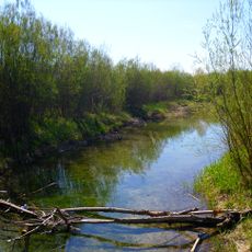
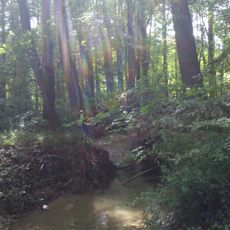
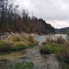
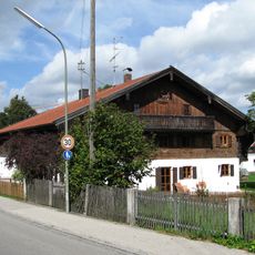
Geretsried is an urban municipality in the Bad Tölz-Wolfratshausen district of Bavaria, situated at roughly 605 meters elevation along the Isar River. The town spreads between ancient forests and lies within reach of both the Bavarian Alps and Lake Starnberg.
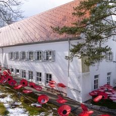
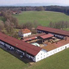
The municipality was established after World War II when buildings from a former munitions factory were repurposed to house German refugees displaced from Eastern Europe. This transformation created housing for thousands of people seeking shelter and a fresh start.
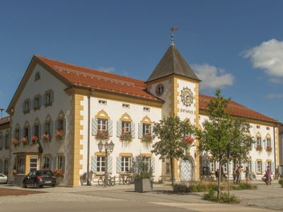
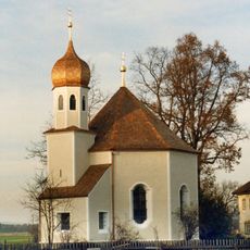
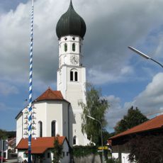
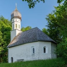
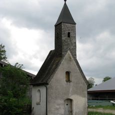
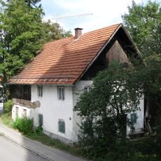
The town's older quarters and central areas display Lüftlmalerei, a traditional Bavarian mural technique featuring Alpine scenes and religious imagery on decorated facades. These painted walls shape the character of the streets and reflect the community's connection to the mountain region.
The town connects to nearby Wolfratshausen and Bad Tölz via regional buses, with an upcoming S-Bahn S7 extension promising improved access from Munich. Visitors should wear sturdy footwear and be prepared for hilly terrain, as many paths lead through woodlands and toward the river.
The town's coat of arms merges three symbolic elements: a cogwheel representing industrial heritage, the Isar River marking the geography, and a spruce tree standing for the surrounding forests. This combination tells the story of industry, water, and woodland that have shaped the place.
Location: Bad Tölz-Wolfratshausen
Elevation above the sea: 605 m
Shares border with: Eurasburg, Königsdorf, Egling
Website: http://geretsried.de
GPS coordinates: 47.86667,11.46667
Latest update: December 17, 2025 10:01
Erinnerungsort Badehaus
4 km
St. Matthias Waldram
4.1 km
Schloss Ascholding
3.5 km
Nikolauskapelle
725 m
St. Benedikt
4.4 km
Kindswieskapelle
4.1 kmCultural heritage D-1-8134-0007 in Eurasburg (Oberbayern)
3 kmWeilerkapelle
3.2 km
Sankt Leonhard (Ascholding)
3.7 km
Kapelle St. Georg
3.3 km
Hofkapelle
2.7 kmKapelle
2.4 km
Isarauen zwischen Schäftlarn und Bad Tölz (ex-"Pupplinger und Ascholdinger Au")
2 km
Weilerkapelle zur Hl. Kümmernis
3.6 km
Schutz von Landschaftsteilen im Isartal zwischen Icking und Königsdorf
2.7 km
Isar-Prallhang bei Geretsried/Gartenberg
1.8 kmCultural heritage D-1-8134-0075 in Geretsried
4.4 kmCultural heritage D-1-8135-0025 in Dietramszell
3.7 kmCultural heritage D-1-8134-0076 in Geretsried
725 m
Gutshof
1.4 km
Ehemals Kleinbauernhaus
4.5 kmCultural heritage D-1-8135-0024 in Egling
4.1 kmCultural heritage D-1-8034-0103 in Geretsried
5 kmCultural heritage D-1-8134-0078 in Geretsried
4.4 kmCultural heritage D-1-8134-0051 in Dietramszell
3.5 km
Ehemals Bauernhaus
4.4 kmBauernhof
5.2 km
Museum der Stadt Geretsried
937 mVisited this place? Tap the stars to rate it and share your experience / photos with the community! Try now! You can cancel it anytime.
Discover hidden gems everywhere you go!
From secret cafés to breathtaking viewpoints, skip the crowded tourist spots and find places that match your style. Our app makes it easy with voice search, smart filtering, route optimization, and insider tips from travelers worldwide. Download now for the complete mobile experience.
A unique approach to discovering new places❞
— Le Figaro
All the places worth exploring❞
— France Info
A tailor-made excursion in just a few clicks❞
— 20 Minutes