Enable Location

We need your location to show you interesting places around you

Discover nearby places

Find interesting locations and hidden gems around you

Precise directions

Get accurate directions and distances to places

Your location is never shared with other users. It's only used when you tap the location button.

Ochsenfurt

Log in to your account

Start exploring — it's free

Trusted by 62,891 travelers worldwide

Continue with Google
Continue with Apple
or

We will send you a code to connect

By continuing, you accept our Terms and Conditions and our Privacy Policy

Check your inbox

We've sent a pincode in your inbox. Please enter the code below.

Discussion Reviews 4 Photos
40.1k Popularity

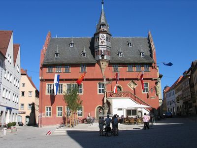
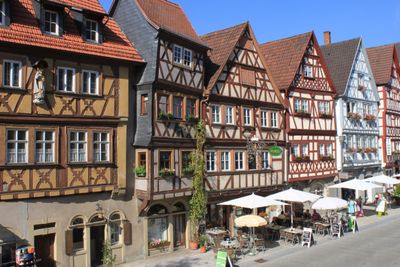
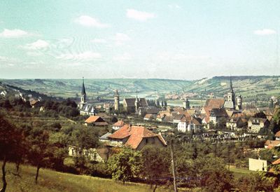
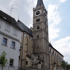
Ochsenfurt, Medieval town in Würzburg district, Germany.

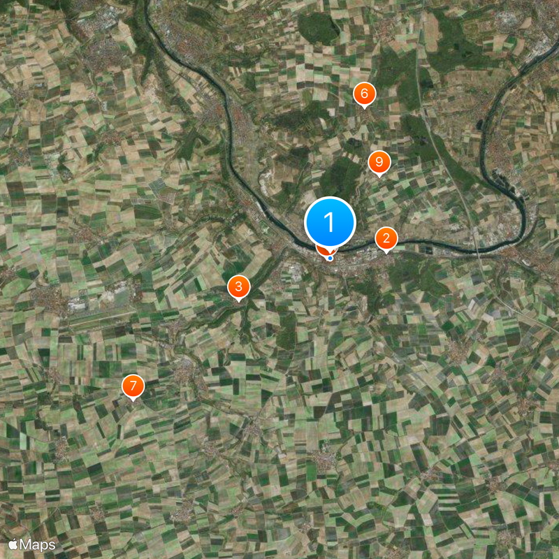
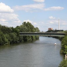
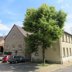
Ochsenfurt is a town situated on the left bank of the Main River and surrounded by farmland. It encompasses eight districts, including Darstadt and Erlach, and serves as a notable settlement in the Würzburg region.

In 1193, the town became a temporary holding place for Richard the Lionheart as he returned from the Third Crusade. This single historical moment connected the settlement to wider European events of that era.

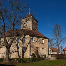
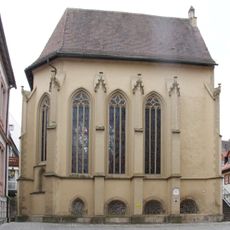
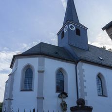
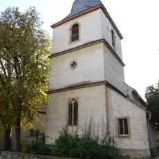
The Tückelhausen monastery shaped the town's spiritual identity and its rooms reveal how monks lived and worshipped here for centuries. Walking through the site today shows visitors the influence this religious community had on the surrounding region.

The town connects by road to Würzburg, located roughly 21 kilometers to the north, making it accessible for day trips. Visitors can easily navigate here as a stop on longer journeys through the region.

The town hosts one of Germany's largest sugar factories, processing sugar beets from the surrounding farmland. This industrial presence has shaped the settlement's character and demonstrates how agricultural processing influenced its development.

The community of curious travelers

AroundUs brings together thousands of curated places, local tips, and hidden gems, enriched daily by 60,000 contributors worldwide.

Start exploring
Location
Elevation above the sea
187 m
Shares border with
Giebelstadt, Reichenberg, Frickenhausen am Main, Eibelstadt, Randersacker, Sommerhausen, Winterhausen, Biebelried, Kitzingen, Sulzfeld am Main, Marktbreit, Gelchsheim, Sonderhofen, Gaukönigshofen
GPS coordinates
49.66436,10.06476
Latest update
December 17, 2025 08:49
« Ochsenfurt - Medieval town in Würzburg district, Germany » is provided by Around Us (aroundus.com). Images and texts are derived from Wikimedia project under a Creative Commons license. You are allowed to copy, distribute, and modify copies of this page, under the conditions set by the license, as long as this note is clearly visible.

Discover hidden gems everywhere you go!

From secret cafés to breathtaking viewpoints, skip the crowded tourist spots and find places that match your style. Our app makes it easy with voice search, smart filtering, route optimization, and insider tips from travelers worldwide. Download now for the complete mobile experience.

Around Us App Screenshot

A unique approach to discovering new places

Le Figaro

All the places worth exploring

France Info

A tailor-made excursion in just a few clicks

20 Minutes

Around Us
Travel Guide & Maps
Download

Send to your phone

QR Code
1

Open the camera app on your mobile.

2

Point at the QR code with your camera. A notification will appear.

3

Tap the notification to open the link.