
Oberndorf, Lower Saxony, municipality of Germany
Location: Land Hadeln
Location: Cuxhaven
Elevation above the sea: 1 m
Website: https://oberndorf-oste.de
GPS coordinates: 53.75000,9.15000
Latest update: March 25, 2025 15:22
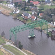
Osten Transporter Bridge
6.6 km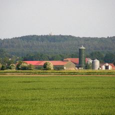
Deutscher Olymp
4.9 km
Wingst
6.6 km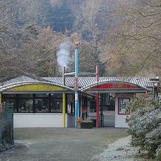
Zoo in der Wingst
4.6 km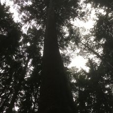
Königstanne
5.8 km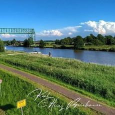
Schwebefähre Oste
6.5 km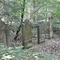
Jüdischer Friedhof Wingst
6.5 km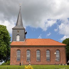
St.-Andreas-Kirche
7 km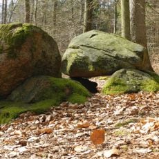
Großsteingrab Wingst
5.9 km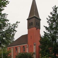
St.-Ansgar-Kirche
6.5 km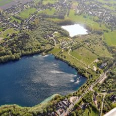
Grabhügel im Postels Busch
5.9 km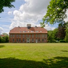
Gut Cadenberg
6.1 km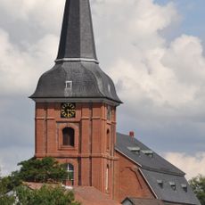
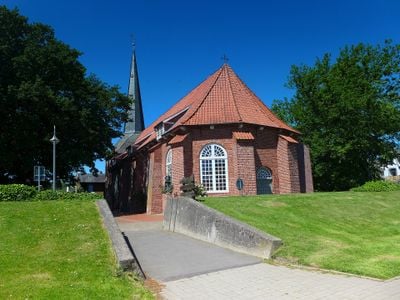
St.-Petri-Kirche (Osten)
6.7 km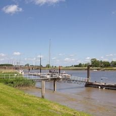
Untere Oste
6.4 km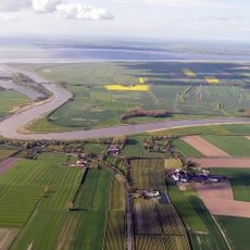
Schnook, Außendeichsflächen bei Geversdorf
5.6 km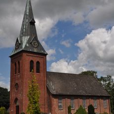
St. Michaelis
7.6 km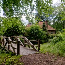
Bremerscher Gutspark Cadenberge
6.1 km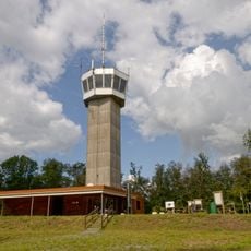
Deutscher Olymp Observation Tower
5 km
Hemmoorium/0rd- und frühgeschichtliches Museum Hemmoor
5.3 km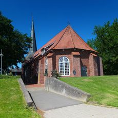
St. Georg
361 m
Quellental, Fahlenberg und Silberberg
6.4 km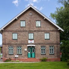
Heimatmuseum Geversdorf
7.2 km
St. Nicolai-Kirche
6.6 km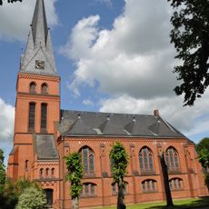
Christuskirche
5.7 km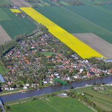
Ostebrücke
6.4 km
Deutsches Zementmuseum Hemmoor
5.3 km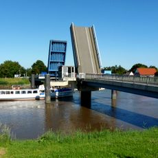
Ostebrücke
449 m
Unterelbe
6.4 kmReviews
Visited this place? Tap the stars to rate it and share your experience / photos with the community! Try now! You can cancel it anytime.
Discover hidden gems everywhere you go!
From secret cafés to breathtaking viewpoints, skip the crowded tourist spots and find places that match your style. Our app makes it easy with voice search, smart filtering, route optimization, and insider tips from travelers worldwide. Download now for the complete mobile experience.

A unique approach to discovering new places❞
— Le Figaro
All the places worth exploring❞
— France Info
A tailor-made excursion in just a few clicks❞
— 20 Minutes