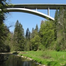
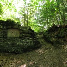
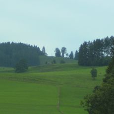
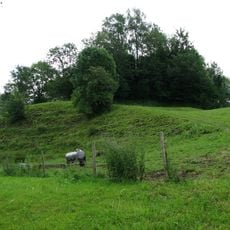
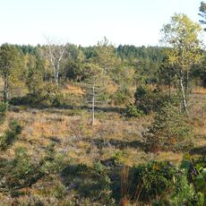
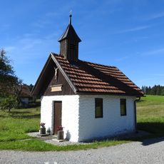
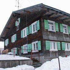
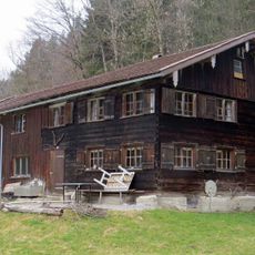
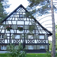
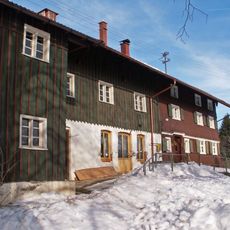
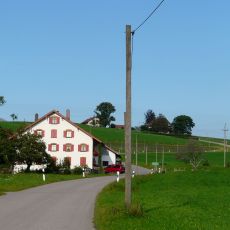
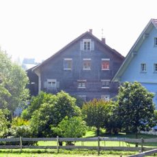
Maierhöfen, municipality in the district of Lindau, Bavaria, Germany
Location: Lindau
Elevation above the sea: 741 m
Part of:
Shares border with: Isny im Allgäu, Grünenbach
Website: http://maierhoefen.de
GPS coordinates: 47.63333,10.05000
Latest update: March 20, 2025 09:49
Argentobelbrücke
1.9 km
Burgstall Hohenegg
952 m
Eistobel
1 km
Pfarrkirche St. Maria (Isny)
6.5 km
Riedholzer Kugel
1.1 km
Burg Ringenberg
2.5 km
Hengelesweiher
4.4 km
Bodenmöser und Hengelesweiher
6.1 km
Burgstall Eggen
2.9 km
Pfarrkirche St. Gebhard
2.2 km
Kapelle in der Nordostecke des Burgstalls Hohenegg
872 m
Kapelle St. Anna (Riedholz)
1.5 km
Catholic chapel
4.4 km
Gefallenendenkmal 1914–1918
5.7 km
Neues Ringtheater
6.5 km
Karl von Lohbauer-Denkmal in Isny
5.7 km
Molasseprofil Eistobel ENE von Grünenbach
1.2 km
Bauernhaus
1.2 km
Ehemaliges Bauernhaus
2.5 km
Gedenktafel auf dem Burgstall Hohenegg
898 m
Bauernhaus
4.7 km
Bildstock mit Kruzifix und arma Christi
2.1 km
Bildstock
3 km
Wohnteil eines ehemaligen Einfirsthofes
6.2 km
Wohnhaus
1.4 km
Bauernhaus
360 m
Wohnteil eines Bauernhauses
4.9 km
Wohnteil eines Bauernhauses
4.7 kmReviews
Visited this place? Tap the stars to rate it and share your experience / photos with the community! Try now! You can cancel it anytime.
Discover hidden gems everywhere you go!
From secret cafés to breathtaking viewpoints, skip the crowded tourist spots and find places that match your style. Our app makes it easy with voice search, smart filtering, route optimization, and insider tips from travelers worldwide. Download now for the complete mobile experience.
A unique approach to discovering new places❞
— Le Figaro
All the places worth exploring❞
— France Info
A tailor-made excursion in just a few clicks❞
— 20 Minutes