Bartholomä, municipality in Germany
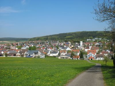
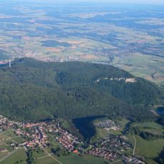
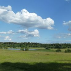
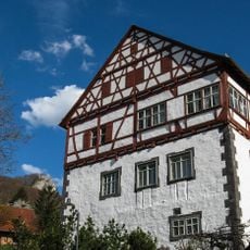
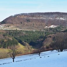
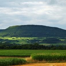
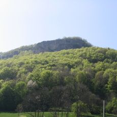
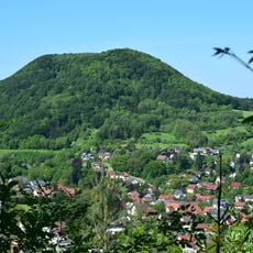
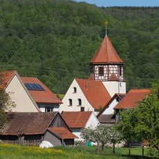
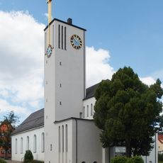
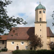
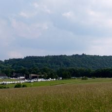
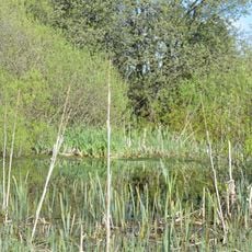
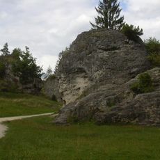
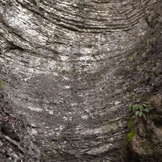
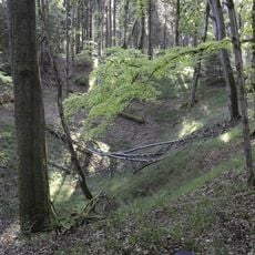
Bartholomä is a small municipality located in the Ostalbkreis district in Baden-Württemberg. The village sits in a quiet rural area and is part of the Rosenstein administrative union.
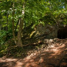
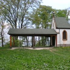
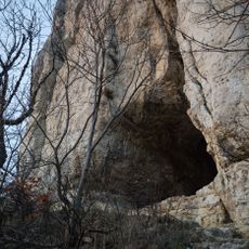
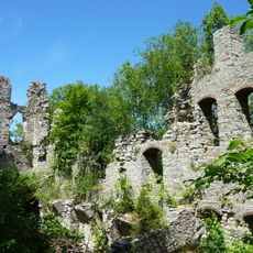
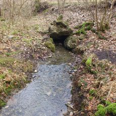
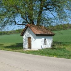
The village has its roots in medieval settlement of the Ostalb region. Like many small communities in the area, it remained an agricultural village for centuries.
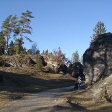
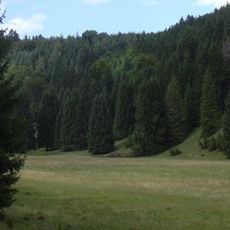
Bartholomä is typical of small rural communities in the region and offers little in terms of infrastructure or tourist attractions. Visitors should be aware that it is a quiet, agricultural area where most services are found in larger neighboring towns.
The community of curious travelers
AroundUs brings together thousands of curated places, local tips, and hidden gems, enriched daily by 60,000 contributors worldwide.